Disclosure : This site contains affiliate links to products. We may receive a commission for purchases made through these links.
Lofoten and Vesteralen Islands
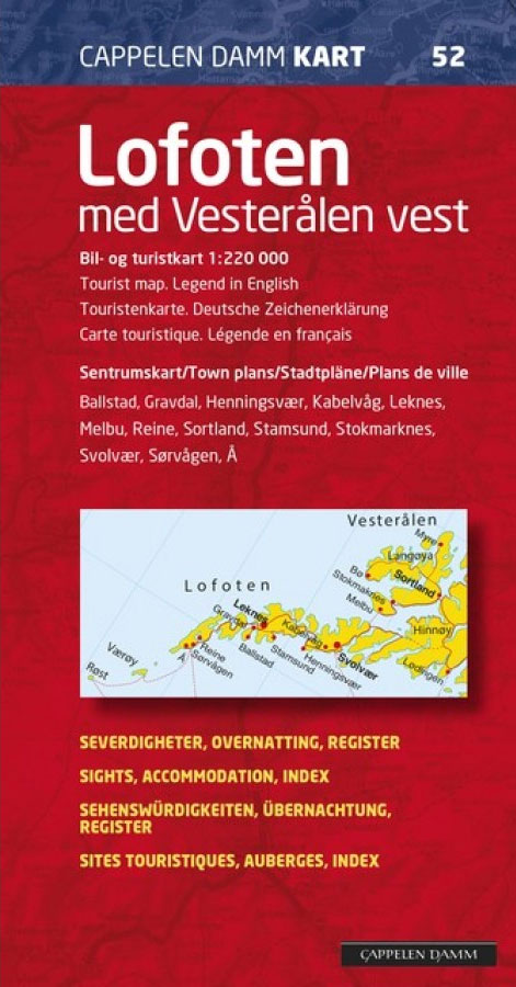
Lofoten and the western Vesterรฅlen Islands at 1:220,000 on an indexed map showing road and ferry connection, plus 11 detailed street plans of the islands’ main towns and villages annotated with various services and facilities. On one side is the road map of the islands with the adjoining part of the mainland. Road network includes small, privately maintained local roads and indicates distances on main routes. A very wide range of symbols mark various tourist facilities, including several types of tourist accommodation graded according to the standard of equipment, places of interest, viewpoints, etc. Latitude and longitude lines are drawn at 15` intervals. On the reverse are 11 detailed street plans of local centres of population. The plans are annotated with symbols for various services, including hotels and tourist accommodation. On most plans streets show selected house numbers for easier identification of addresses. One large index with 2000 entries covers both the main map and all the plans. Map legend includes English.

Related Products:
 Lofoten – Vesteralen Islands – Senja Cappelen Sectional Road Map
 Northland: Whangarei, Bay of Islands and 61 Provincial Towns Pathfinder
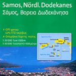 Samos & Northern Dodecanese Islands 50K Kompass Map No.253
 Aeolian (Lipari) Islands Global Map Tourist Map
 Cayman Islands & Jamaica ITMB
 Polynesian Islands ITMB Travel Atlas
 Virgin Islands (US and British) ITMB
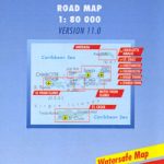
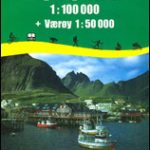 Lofoten – Vaeroy
 Balearic Islands Michelin Regional 579
 Virgin Islands Borch
 Faroe Islands
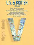
 Virgin Islands (US and British)
 Cuba ITMB
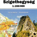 Apuseni Mountains
 Caribbean Islands Western Half ITMB Travel Atlas
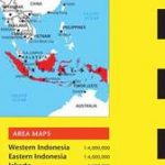 Indonesia Periplus Travel Map
 Slovenia Kartografija Road Atlas
 Caribbean Islands East & South ITMB Travel Atlas
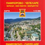 Smolyan – Chepelare – Pamorovo and the Surrounding Area
 Canary Islands ITMB
 Vesteralen – Hinnoya South Nordeca 2811
 Vesteralen – Hinnoya North Nordeca 2812
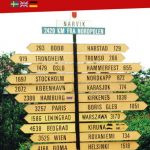 Central and North Norway: Bodรธ – Lofoten
 Coromandel Pocket Map
 Hamilton, Cambridge, Te Awamutu Pocket Map
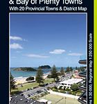 Tauranga – Bay of Plenty Pathfinder
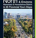 Palmerston North Pathfinder
 Lofoten Nordeca Tourist Route 20014
 Rwanda & Burundi ITMB
 Lofoten West Nordeca 2745
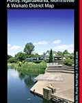
 Waikato Towns and District Pathfinder
 Whangaparaoa and Orewa Pocket Map
 Napier, Hastings and Hawke`s Bay Pathfinder
 Sikkim & India Northeast ITMB
 Wellington City and District Pathfinder
 Pleven
 North Argentina de Dios Regional Map
 Australia: UBD Gregory`s Regional Road Maps
 Kerala & Lakshadweep Map-Guide