Disclosure : This site contains affiliate links to products. We may receive a commission for purchases made through these links.
Liverpool Princes Park 1905
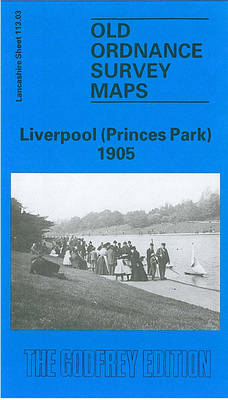
Liverpool Princes Park in 1905 in a fascinating series of reproductions of old Ordnance Survey plans in the Alan Godfrey Editions, ideal for anyone interested in the history of their neighbourhood or family. The map covers a busy area of south Liverpool, largely comprising the eastern half of Toxteth, Princes Park Ward and Sefton Park. Coverage stretches from Admiral Street eastward to Green Bank, and from Eversley Street southward to Alexandra Drive. Features include Toxteth Park Cemetery, Princes Park, much of Sefton Park, tramways and depot, Turner Memorial Home of Rest, St Paul`s church, Worsley House, Dingle station, Toxteth Park Workhouse, villas (several named) around Sefton Park, cricket ground, St Columba`s Presbyterian church, Greenbank School, St Pancras church, etc. On the reverse are street directory entries for Alexandra Drive, Byles Street, Croxteth Road, Devonshire Road, Ivanhoe Road, Lime Grove, Prince`s Avenue, Prince`s Road and Tiber Street. About the Alan Godfrey Editions of the 25″ OS Series:Selected towns in Great Britain and Ireland are covered by maps showing the extent of urban development in the last decades of the 19th and early 20th century. The plans have been taken from the Ordnance Survey mapping and reprinted at about 15 inches to one mile (1:4,340). On the reverse most maps have historical notes and many also include extracts from contemporary directories. Most maps cover about one mile (1.6kms) north/south, one and a half miles (2.4kms) across; adjoining sheets can be combined to provide wider coverage.FOR MORE INFORMATION AND A COMPLETE LIST OF ALL AVAILABLE TITLES PLEASE CLICK ON THE SERIES LINK.

Related Products:
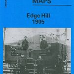 Liverpool Edge Hill 1905
 Liverpool Toxteth 1906
 Liverpool Toxteth Mill Street 1847
 Alexandra Park and South Friern 1935
 Alexandra Park & South Friern 1894 – 6a
 Alexandra Park & South Friern 1911 – 6b
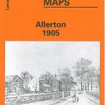 Allerton 1905
 Garston 1905 – 113.12b
 Liverpool North 1906
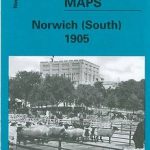 Norwich (South) 1905 – 63.15
 Willesden and Stonebridge Park 1936
 Central Liverpool 1906 – 106.14b
 Wavertree and Broad Green 1905
 Norwich (North) 1905 – 63.11
Central Liverpool 1890 – 106.14a Colour Edition
Liverpool & The Wirral 1904 – 96
Liverpool Pierhead (Prince`s and George`s Docks) 1864
Norwich (North) 1905 – 63.11
Central Liverpool 1890 – 106.14a Colour Edition
Liverpool & The Wirral 1904 – 96
Liverpool Pierhead (Prince`s and George`s Docks) 1864
 South Acton & Gunnersbury Park 1935 – 71.4
Trafford Park South 1937
Victoria Park 1889
Sheffield Park 1903
South Acton & Gunnersbury Park 1935 – 71.4
Trafford Park South 1937
Victoria Park 1889
Sheffield Park 1903
 Tong 1905
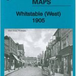 Whitstable West 1905
 Woolton 1904
Liverpool London Road 1864
Woolton 1904
Liverpool London Road 1864
 Croydon East: Coombe Park & Addiscombe Road 1895 – 158
Anfield 1908 – 106.07b
Croydon East: Coombe Park & Addiscombe Road 1895 – 158
Anfield 1908 – 106.07b
 South Harrow and Northolt Park 1935
Derry/Londonderry 1905 – 14.10
Hornsey 1894 – 12.2
South Harrow and Northolt Park 1935
Derry/Londonderry 1905 – 14.10
Hornsey 1894 – 12.2
 Heckmondwike 1905
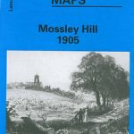 Mossley Hill 1905
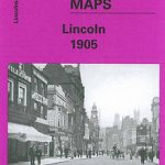 City of Lincoln 1905 – 70.07a
Bootle Docks & Seaforth 1907 – 99.13
City of Lincoln 1905 – 70.07a
Bootle Docks & Seaforth 1907 – 99.13
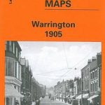 Warrington 1905
 Liverpool Shaw Street 1848
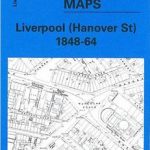 Liverpool Hanover Street 1864
Belfast Knockdene Park 1902
Liverpool Hanover Street 1864
Belfast Knockdene Park 1902
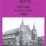 Hornsey & Green Lanes 1935 – 12.4
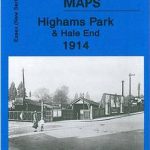 Highams Park and Hale End 1915 – 78.01