Disclosure : This site contains affiliate links to products. We may receive a commission for purchases made through these links.
Lhasa to Kathmandu Biking Map
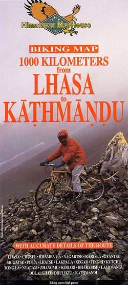
Lhasa to Kathmandu Cycling Map from Nepa, presenting the 1000km route along the main road joining the two cities, across Gyantse/Gyangze, Shigatse/Xigaze, Lhatse/Chushar and Kodari, on three separate panels. Also shown is the spur to the North Everest Base Camp on the Tibetan side. Markings indicate unpaved sections and the route is annotated with symbols showing overnight stops, likely speed per hour, road distances, road maintenance houses, various places of interest, etc. The base map has contours at 200m intervals with spot heights and names of main peaks, and shows various trekking trails from the main route. The map has no geographical coordinates.Index lists settlements, peaks, passes and various temples. Also included is a profile of the route, tables showing the main route and the Everest detour in sections with altitudes in metres and feet plus intermediate distances, information on climate, etc.

Related Products:
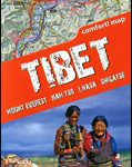 Tibet – Mount Everest – Nam Tso – Lhasa – Shigatse terraQuest Tourist Map
 Everest: Jiri to Everest Base Camp
 Mera Peak
 Everest Base Camp & Gokyo – Three Passes 50K
 Tenzing-Hillary Trek – Jiri to Everest Base Camp
 Lukla to Gokyo – Cho-La – Renjo-La – Nagpa-La
 Nepal Adventure Map
 Everest – Gokyo – Cho La – the Renjo Pass (60K)
 Biking Around Annapurna
 Cho Oyu
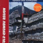 Solu Khumbu – Everest Region Great Himayala Trail Map
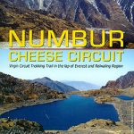 Numbur Cheese Circuit
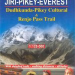 Dudhkunda- Pikey Cultural Trail & Rejno Pass Trail (Jiri – Pikey – Everest)
 Everest Region Trekking Map
 Italy Hallwag Road Map
Kathmandu Valley
Italy Hallwag Road Map
Kathmandu Valley
 Monte Fitzroy & Cerro Torre – Lago Desierto
 Annapurna Base Camp
 North Annapurna Base Camp
 Czech – Slovak Republics F&B Superatlas
Switzerland Hallwag Motorcycle Map Set
Czech – Slovak Republics F&B Superatlas
Switzerland Hallwag Motorcycle Map Set
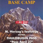
 Makalu Base Camp
 Kailas – Manasarovar
Geological Map of Switzerland
Kailas – Manasarovar
Geological Map of Switzerland
 Mount Everest
 Island Peak (Imja Tse)
 Ama Dablam
 Rolwaling Region Great Himalaya Trail Map
 Around Annapurna (125K)
 Dhaulagiri Circuit
 Dolpo Circuit
 Kanchenjunga
New Zealand Wall Map
Kanchenjunga
New Zealand Wall Map
 From Lhasa to Kailas
 Tumlingtar to Lukla
 Madeira F&B
Tectonic Map of Switzerland
Madeira F&B
Tectonic Map of Switzerland
 Madeira F&B WKP1
 Makalu Region Great Himalay Trail Map
 Trekking in the Everest Region: Includes Kathmandu City Guide