Disclosure : This site contains affiliate links to products. We may receive a commission for purchases made through these links.
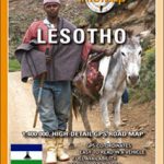
Lesotho Map Studio Adventure Map
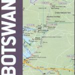
Lesotho at 1: 375,000 on an indexed map from the South African publishers Map Studio, with GPS coordinates for important road junctions, locations with tourist accommodation or fuel supplies, etc, plus a street plan of central Maseru.The map uses satellite imagery enhanced by altitude colouring to present the topography of this mountainous country. Road network differentiates between tarred and untarred roads and includes selected tracks. Locations of border crossings and of fuel stations are marked and driving distances are shown on main routes. Many road junctions are annotated with their GPS waypoints. Symbols indicate locations with access by air transport, tourist accommodation including campsites and caravan parks, medical facilities, etc. The map is indexed and has latitude and longitude lines at intervals of 30’. The plan of central Maseru names selected streets and highlights important buildings.


