Disclosure : This site contains affiliate links to products. We may receive a commission for purchases made through these links.
Leeds (Harehills, Buslingthorpe & Chapeltown Road) 1919 – 203.14c

Leeds Harehills in 1919 in a fascinating series of reproductions of old Ordnance Survey plans in the Alan Godfrey Editions, ideal for anyone interested in the history of their neighbourhood or family. The map covers part of northern Leeds, stretching from Woodhouse Street eastward to Harehills Road and northward to Potternewton Lane. Areas covered include Harehills, New Leeds, Potternewton Park, Woodhouse Carr, Buslingthorpe and Scott Hall. Industry features, mostly in the south-western corner, include Buslingthorpe Tannery, Perseverance Mill, Ridge Mill, Springwell Leather Works, Sheepscar Leather & Glue Works, Valley Mills, Buslingthorpe Boot Works and Scott Hall Quarries. The rest of the map is largely residential and features include Potternewton House, Scott Hall Farm, St Martin`s church, Newton Park, Newton Green Hall, The Mansion (in Potternewton Park), Gledhow Mount, Gledhow Wood, etc. On the reverse are street directory entries for Cowper Street, Francis Street, Grange Avenue, Harehills Avenue, Leopold Street, Louis Street, Sholebroke Avenue and Woodhouse Street.About the Alan Godfrey Editions of the 25″ OS Series:Selected towns in Great Britain and Ireland are covered by maps showing the extent of urban development in the last decades of the 19th and early 20th century. The plans have been taken from the Ordnance Survey mapping and reprinted at about 15 inches to one mile (1:4,340). On the reverse most maps have historical notes and many also include extracts from contemporary directories. Most maps cover about one mile (1.6kms) north/south, one and a half miles (2.4kms) across; adjoining sheets can be combined to provide wider coverage.FOR MORE INFORMATION AND A COMPLETE LIST OF ALL AVAILABLE TITLES PLEASE CLICK ON THE SERIES LINK.

Related Products:
 Leeds (Harehills, Buslingthorpe & Chapeltown Road) 1890 – 203.14a
 Leeds East 1906
 N.W. Leeds 1908 – 218.01b
 Leeds North West 1889 (Colour Edition)
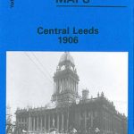 Central Leeds 1906 – 218.02b
 Leeds Central and North East 1890
Leeds Town Hall and Park Square 1847-1863
Leeds Central and North East 1890
Leeds Town Hall and Park Square 1847-1863
 Leeds South and South East 1906
Leeds South and South East 1890 (Colour Edition)
Leeds SW: Holbeck & New Wortley 1888 – 218.05a
Leeds South and South East 1906
Leeds South and South East 1890 (Colour Edition)
Leeds SW: Holbeck & New Wortley 1888 – 218.05a
 Accrington 1909
Blackburn 1929
Blackburn 1910
Accrington 1909
Blackburn 1929
Blackburn 1910
 Blackburn 1892 (Coloured Edition)
Trafford Park South 1937
Blackburn 1892 (Coloured Edition)
Trafford Park South 1937
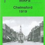 Chelmsford 1919
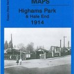 Highams Park and Hale End 1915 – 78.01
 Bollington 1907
 Leeds A-Z Pocket Street Map
Burnley 1910
Leeds A-Z Pocket Street Map
Burnley 1910
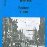 Bolton 1908 – 87.13b
 Leeds, Wetherby & District 1910 – 70
North Chorley 1909 – 77.08
Leeds, Wetherby & District 1910 – 70
North Chorley 1909 – 77.08
 Bolton North 1908
 Bradford Odsal & Low Moor 1905
 South Acton & Gunnersbury Park 1935 – 71.4
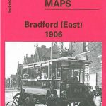 Bradford East 1906
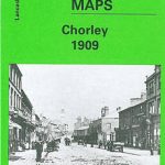 Chorley 1909
Wigan West 1908
Openshaw 1905
Chorley 1909
Wigan West 1908
Openshaw 1905
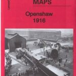 Openshaw 1916
Belfast Bloomfield 1902
Oswaldtwistle and Church 1909
Sheffield Ecclesall Road and Sharrow 1903
Horbury 1905
Openshaw 1916
Belfast Bloomfield 1902
Oswaldtwistle and Church 1909
Sheffield Ecclesall Road and Sharrow 1903
Horbury 1905
 Pendleton North 1915
Newton Heath 1915
Sandwell Hall 1902
Pendleton North 1915
Newton Heath 1915
Sandwell Hall 1902
 Liverpool Toxteth Mill Street 1847
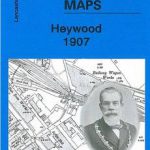 Heywood 1907