Disclosure : This site contains affiliate links to products. We may receive a commission for purchases made through these links.
Le Chemin de Rรฉgordane – Chemin de Saint-Gilles GR700

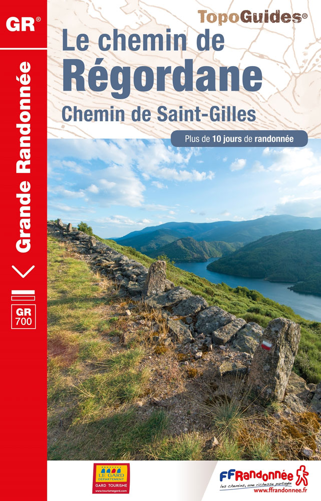
GR700: Le Chemin Rรฉgordane: Le-Puy-en-Velay – St-Gilles-du Gard, FFRP topo-guide ref. no. 7000, one of the titles from an extensive series of light, high quality, A5 paperback guides to the Sentiers de Grande Randonnรฉe, the GR routes, a dense network of long-distance footpaths across the French countryside. Each topo-guide covers either a circular route, or part of a longer path. Supporting the descriptions are *colour extracts from IGN`s 1:50,000 or 1:25,000 topographic surveys overprinted with the route*. The text is in French, but a large amount of information is conveyed by symbols. A list of all the main places along the route indicates what facilities can be found there: public transport, food shops, and various types of accommodation, with addresses and telephone numbers.In this guide: a route across the Cevennes from Le Puy-en-Velay via Gรฉnolhac, Alรจs and Nรฎmes to Saint-Gilles-du Gard.


