Disclosure : This site contains affiliate links to products. We may receive a commission for purchases made through these links.
Lanzarote F&B

Related Products:
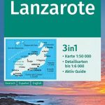 Lanzarote Kompass 241
 Lanzarote Marco Polo Holiday Map
 Soo 25K Lanzarote CNIG Topographic Survey Map No. 1080-III
Timanfaya 25K Lanzarote CNIG Topographic Survey Map No. 1081-III
Yaiza 25K Lanzarote CNIG Topographic Survey Map No. 1081-IV
Haria 25K Lanzarote CNIG Topographic Survey Map No. 1080-IV
Tinajo 25K Lanzarote CNIG Topographic Survey Map No. 1082-I
Tias 25K Lanzarote CNIG Topographic Survey Map No. 1082-III
Arrecife 25K Lanzarote CNIG Topographic Survey Map No. 1082-IV
Caleta del Sebo 25K Lanzarote CNIG Topographic Survey Map No. 1080-II
Isla de Montana Clara 25K Lanzarote CNIG Topographic Survey Map No. 1079-IV
Soo 25K Lanzarote CNIG Topographic Survey Map No. 1080-III
Timanfaya 25K Lanzarote CNIG Topographic Survey Map No. 1081-III
Yaiza 25K Lanzarote CNIG Topographic Survey Map No. 1081-IV
Haria 25K Lanzarote CNIG Topographic Survey Map No. 1080-IV
Tinajo 25K Lanzarote CNIG Topographic Survey Map No. 1082-I
Tias 25K Lanzarote CNIG Topographic Survey Map No. 1082-III
Arrecife 25K Lanzarote CNIG Topographic Survey Map No. 1082-IV
Caleta del Sebo 25K Lanzarote CNIG Topographic Survey Map No. 1080-II
Isla de Montana Clara 25K Lanzarote CNIG Topographic Survey Map No. 1079-IV
 Canary Islands East: Gran Canaria, Fuerteventura, Lanzarote 500K CNIG Regional Map No.
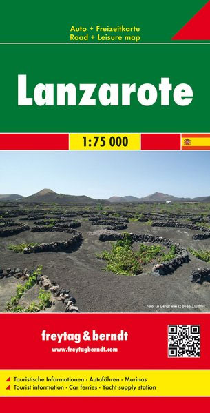
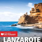
 Lanzarote
 Lanzarote Travel Pack
 Lanzarote Sunflower Landscape Guide
 Lanzarote Tour & Trail Super-Durable Map
 Canary Islands: Fuerteventura and Lanzarote – Spain: Vol. 1
 Berlitz Pocket Guide Lanzarote & Fuerteventura
 Insight Guides Pocket Lanzarote & Fuertaventura
 Lanzarote Marco Polo Pocket Guide
 Lanzarote Marco Polo Spiral Guide
 SHOM Chart 7562 – Lanzarote et Fuerteventura
 Lanzarote and Fuerteventura – 45 Walks Including Isla La Graciosa
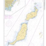
 Admiralty Chart 1862 – Lanzarote to Cabo Bonjador
 Timanfaya National Park – Lanzarote CNIG Map-Guide SPANISH
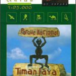 Timanfaya National Park – Lanzarote CNIG Map-Guide ENGLISH
 SHOM Chart 7562L – Lanzarote et Fuerteventura – Leisure A4 size