Disclosure : This site contains affiliate links to products. We may receive a commission for purchases made through these links.
Langthang Himal East Alpenverein 0/11
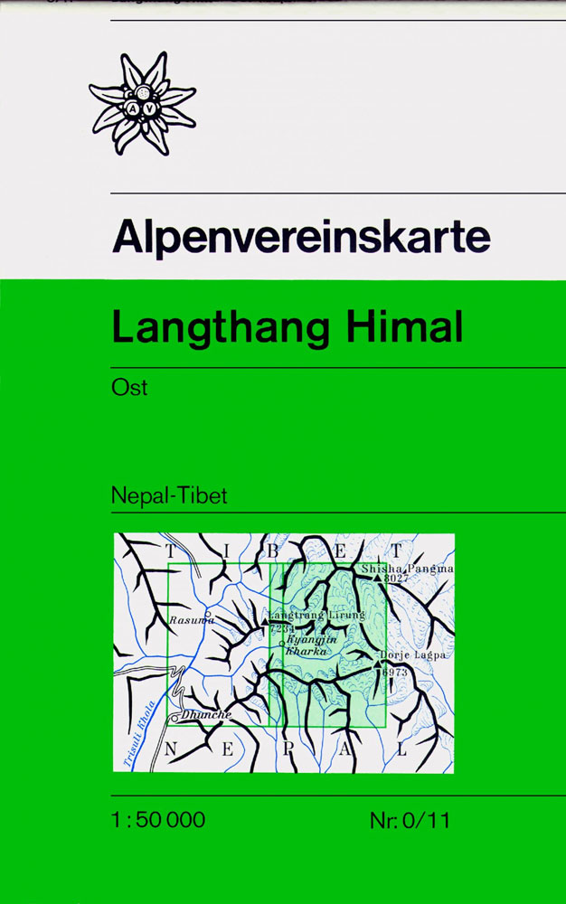
The eastern part of the Langtang region in a series of maps of Nepal published by the German and Austrian Alpine Clubs as part of their coverage of areas outside Europe. The map, edited 1990, has contours at 40m intervals with spot heights, plus colouring and graphics to indicate different types of terrain and vegetation. Relatively fewer names of peaks, settlements, etc. are shown than on other maps of this area. Roads and foot trails are marked, but without indicating main trekking routes. The Nepal – Tibet border is not marked. Margin ticks give latitude and longitude at intervals of 5’. Map legend includes English.

Related Products:
 Langthang Himal West Alpenverein 0/10
 Ganesh Himal – Paldor Base Camp
 Jumla/Rara – Saipal – Sisne Himal – Gorakh Himal
 Nepal`s Far West – Api & Saipal Himal – Khaptad & Rapa NP – Humla Great Himayala Trail Map
 Gaurishankar Himal
Lamjun Himal
Ganesh Himal 2885-09
Mt. Everest (Sagarmatha) – Hinku Himal
Gaurishankar Himal
Lamjun Himal
Ganesh Himal 2885-09
Mt. Everest (Sagarmatha) – Hinku Himal
 Langtang and Helambu Trekking Map
 Dolpo & Mugu – Phoksumdo – Chharka Bhot – Kanjirowa Himal Great Himalaya Trail Map
 From Lhasa to Kailas
Nepal: Leomann Trekking Maps
From Lhasa to Kailas
Nepal: Leomann Trekking Maps
 Damodar Himal
 Indigenous Peoples Trail
 Nepal: Nepa Trekking and Hiking Maps
 Kanchenjunga
 Kanjiroba East, Tibrikot, Dolpo & Dhaulagiri Area
 Ruby Valley Trek
 Naar – Phu
 Nevado Ojos del Salado Alpenverein 0/13
 Tumlingtar to Lukla
Rolwaling Himal (Gaurisankar)
Tumlingtar to Lukla
Rolwaling Himal (Gaurisankar)
 Annapurna Himal
 Tsum Valley Trekking Map
 Mustang to Annapurna
 North Annapurna Base Camp
 Mallorca East Reise Know-How
 Khumbu – Sagarmatha National Park
South Asia Upside Down Himal Southasian Wall Map
Khumbu – Sagarmatha National Park
South Asia Upside Down Himal Southasian Wall Map
 Kitzbuhel Alps East Alpenverein Map 34/2
 Kitzbuhel Alps East Alpenverein SKI Map 34/2
 Khumbu Himal Schneider Nepal Map 02
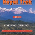 Royal Trek
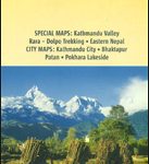 Nepal Nelles
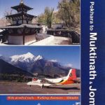 Pokhara to Muktinath and Jomosom
 Mera Peak
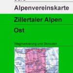 Zillertal Alps East Alpenverein KOMBI Map 35/3
 Allgau-Lechtal Alps East Alpenverein Map 2/2
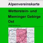 Wetterstein – Mieminger Gebirge East Alpenverein Map 4/3
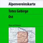 Totes Gebirge East Alpenverein KOMBI Map 15/3