Disclosure : This site contains affiliate links to products. We may receive a commission for purchases made through these links.
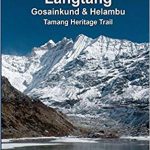
Langtang – Gosainkunda & Helambu 125K
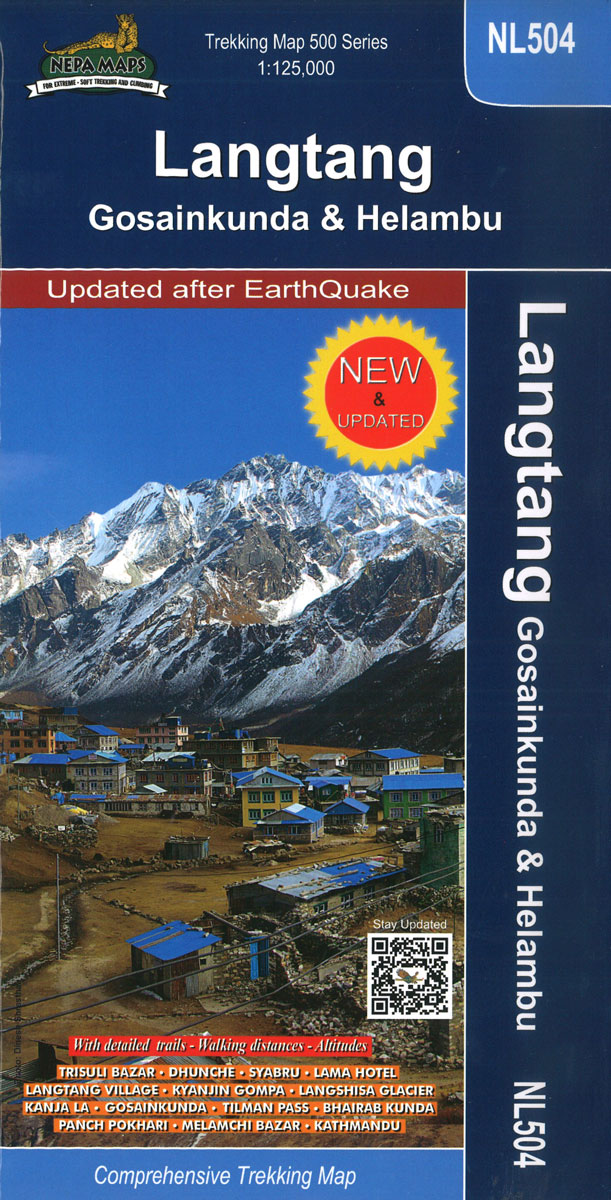
Langtang, Gosaikund and Helambu regions of Nepal, north and north-east of Kathmandu, on a map at 1:125,000 from Nepa Maps. Coverage extends from the capital to the Tibetan border and eastwards to the Kodari border crossing. The map shows numerous trekking routes from Kathmandu, Trisuli, Melamchi and Chautara northwards towards the Langtang National Park, as well as routes along the Lantang Valley and to the Naya Kanga peak. Contours lines are at 80m intervals. Margin ticks show latitude and longitude at intervals of 5’. The index lists places, peaks, passes and lakes. Additional information on the inside of the map cover includes a profile of the main the Langtang Trek and tables showing the route and its variants in stages with altitudes in metres and feet and trekking times.PLEASE NOTE: the same area is also covered by the publishers’ map NL511 which has on the reverse a 1:25,000 map of the Tamang Heritage Trail.Titles in this Nepa Maps series have cartography is based on the country’s topographic survey, with contours usually at 40m or 50m intervals, enhanced by relief shading, colouring and graphics to show various features of the terrain, including glaciers, forested or cultivated areas, etc. Numerous peaks, with additional spot heights, plus names of glaciers and mountain ranges are prominently shown. The network of rivers, streams and lakes is shown in great detail, with many smaller rivers and lakes named. Overprint highlights main trekking routes and numerous local trails, with symbols indicating various places of interest and tourist facilities. Most maps are indexed and include additional information such as route profiles, glossaries, etc. All the information is in English and heights are given in metres.To see other titles in this series please click in the series link.

Related Products:
 Langtang – Gosainkunda – Helambu – Tamang Heritage Trail (125K/25K)
 Langtang – Gosaikund & Helambu 125K
 Langtang – Tamang Heritage Trail – Gosainkunda – Helambu 50K
 Langtang & Helambu Great Himalaya Trail Map
 Helambu Trail
 Around Annapurna (125K)
 Helambu – Langtang
 Gosainkunda – Trek to Shiva`s Sacred Lake
 Langtang and Helambu Trekking Map
 Langtang NGS Adventure Map 3004
 Ghorepani – Ghandruk
 A Trekking Guide to Langtang Gosainkund & Helambu
 Makalu Base Camp
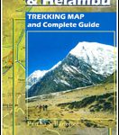 Langtang & Helambu ‘“ Trekking Map and Complete Guide
 Naya Kanga
 Panch Pokhari
 Naar – Phu
 Sikles Trek
 Around Annapurna (100K)
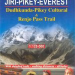 Dudhkunda- Pikey Cultural Trail & Rejno Pass Trail (Jiri – Pikey – Everest)
 Nepal: Nepa Trekking and Hiking Maps
 Manaslu & Tsum Valley
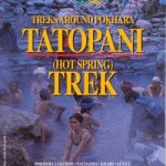 Tatopani Trek
 Lukla to Gokyo – Cho-La – Renjo-La – Nagpa-La
 Everest: Jiri to Everest Base Camp
 Kanchenjunga
 Langtang Lirung
 Annapurna Base Camp
 Lukla to Tengboche
 Dhaulagiri Circuit
 Tumlingtar to Lukla
 Mustang to Annapurna
 Khumbu – Sagarmatha National Park
 Dhorpatan Hunting Reserve
 Dolpo Circuit
 Monastry Circuit Trail
 Shivapuri Nagarjun National Park
 Numbur Cheese Circuit
 Tilicho Hidden Lake
 Indigenous Peoples Trail