Disclosure : This site contains affiliate links to products. We may receive a commission for purchases made through these links.
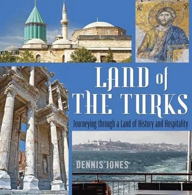
Land of the Turks: Journeying Through a Land of History & Hospitality

Related Products:
 Ireland – Land, People, History
 Setting the Table: The Transforming Power of Hospitality in Business
 The Lies of the Land: A Brief History of Political Dishonesty
 Short History of Laos – The Land Inbetween
 Hollow Places: An Unusual History of Land and Legend
 Cambodia`s Curse: The Modern History of a Troubled Land
 The Lies of the Land: An Honest History of Political Deceit
 Mindful Travelling: Journeying the World, Discovering Yourself
 Wild Karoo: A Journey Through History, Change and Revival In An Ancient Land
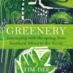 Greenery: Journeying with the Spring from Southern Africa to the Arctic
 Land for What? Land for Whom?: Senses of Place and Conflict in the Scottish Highlands
 The Turks Today
 Providenciales / Provo – Turks & Caicos Islands
Fodor`s In Focus Turks & Caicos Islands
Providenciales / Provo – Turks & Caicos Islands
Fodor`s In Focus Turks & Caicos Islands
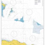
 Admiralty Chart 1441 – Turks Islands
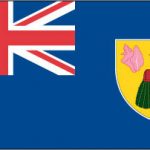 Turks and Caicos Naional Flag – 1/2 yard – Printed
 Great Catastrophe: Armenians and Turks in the Shadow of Genocide
 Seaworthy Cruising Guide to The Turks and Caicos Islands, 3rd Edition
 Admiralty Chart 3908 – Passages between Turks & Caicos Islands and Dominican Republic
 Field Work: What Land Does to People and What People Do to Land
 Admiralty Chart 3907 – Passages between Mayaguana Island & Turks & Caicos Is inc Northern Apps to Haiti & Dominican Rep
 Admiralty Chart 468 – Cruise Terminals in the Caribbean: Amber Cove, Dominican Republic and Grand Turk, Turks and Caicos
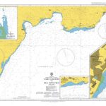
 Admiralty Chart 1450 – Turks Island Passage and Mouchoir Passage
 The Big History Timeline Wallbook: Unfold the History of the Universe – From the Big Bang to the Present Day
 This Land
 The Land of Nod
 The Shadow Land
 My Promised Land
 Ibiza, Land and Sea
 The Land of Lines
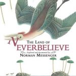 The Land Of Neverbelieve
 Granta 134: No Man`s Land
 Land of the Golden Apple
 Up with the Lark: My Life on the Land
 Land of Love and Drowning: A Novel
 In the Land of the Cyclops: Essays
 Land Rover DVD and Book Set
 Myanmar: The Land and Its People
 The Land of Maybe: A Faroe Islands Year
 Land Rover: Series I, II, III & Defender