Disclosure : This site contains affiliate links to products. We may receive a commission for purchases made through these links.
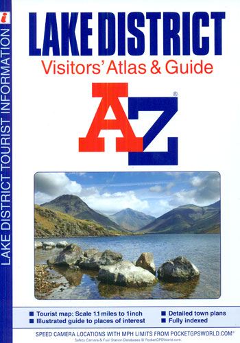
Lake District A-Z Visitor`s Atlas & Guide

Lake District Visitors’ Atlas and Guide from the Geographers` A-Z Map Company, with contoured road mapping at 1:70,000 (1″ to 1.1 miles) to show the topography, 15 street plans with guides to main locations, plus a 26-page guide to other places of interest in the region.Topography of the Lake District is well presented by contours and altitude colouring at 50m intervals, plus additional spot heights and plenty of names of fells, peaks, crags, etc. Road network indicates steep gradients and shows locations of petrol stations, speed cameras and services, as well as driving distances on A and B roads. Interesting locations are prominently highlighted, with a very wide range symbols indicating various facilities and attractions. The maps have the lines of the British National Grid. The region’s 15 main towns are shown on indexed street plans, each accompanied by descriptions of main sights and a list of various facilities. An additional 26-page guide section contains brief descriptions of other places of interest within the Lake District. Current 4th edition of this title was published in 2014. To see the list of titles on A-Z’s Visitor’ series please click on the series link.


