Disclosure : This site contains affiliate links to products. We may receive a commission for purchases made through these links.
Ladakh & Zanskar Olizane Illustrated Travel Map
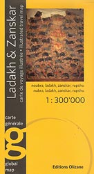
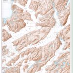
Ladakh and Zanskar region on a double-sided map at 1:300,000 from Editions Olizane, printed on light, waterproof and tear-resistant plastic paper and illustrated with drawings of local landscape and cultural heritage.The map covers roughly the same area as the publishers’ highly acclaimed series of three maps covering the region at 1:150,000. The base map, derived from satellite imagery, presents a vivid picture of the terrain, with numerous peaks named on it. The map shows local roads and mountain trails, and highlights 68 various places of interest, cross-referenced to a list which conveniently groups them into villages, palaces and forts, monasteries, sacred sites, low relief and steles, rock art sites, etc. The map has latitude and longitude cross-hairs at 12’.Fine drawings provide illustrations of local Buddhist structures and figures, steles, rock art and artefacts.Map legend and all the text are in English and French.

Related Products:
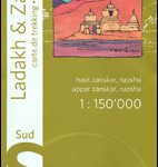 Ladakh & Zanskar South – Upper Zanskar – Rupshu Editions Olizane
 India: Ed. Olizane Trekking Maps of Ladakh and Zanskar
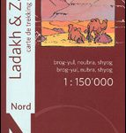 Ladakh and Zanskar North: Brog-Yul – Nubra – Shyog
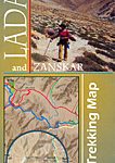 Ladakh and Zanskar Trekking Map
 Ladakh – Zanskar Nelles
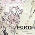 Forts: An illustrated history of building for defence
 Rarau-Giumalau Mountains and Bucovina Monasteries Dimap Hiking Map
 Georgia: Geoland 200K Regional Travel Maps
 Ladakh, Jammu & the Kashmir Valley
 Sacred Spaces: The Holy Sites of Buddhism
 Cambodia – the Khmer Legacy Odyssey Illustrated Map
 Costa del Maule
 Eastern Crete Terrain Editions 450
 Central Crete Terrain Editions 449
 Western Crete Terrain Editions 448
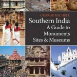 Southern India: A Guide to Monuments Sites & Museums
 Journey in Ladakh
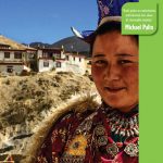
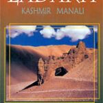 Ladakh – The Essential Guide – Kashmir – Manali
 Malaysia Periplus Travel Map
 Crete Reise Know-How
 Leh, Zanskar and Nubra Valley
 Kargil, Zanskar & Nun-Kun Area
 Sumatra – Medan Periplus Travel Map
 Ladakh. A Land of Mystical Monasteries
 Croatia ITMB
 DK Eyewitness Travel Guide Myanmar (Burma)
 Agra Micro-Travelogue
 Chianti
 Gosainkunda – Trek to Shiva`s Sacred Lake
 Greece: Terrain Editions 100K Touring Maps of Crete
 USA Rail Museums & Trips – Western States Bella Terra Illustrated Map
 Ming: Art, People and Places
 USA Rail Museums & Trips – Central States Bella Terra Illustrated Map
 Val d`Arbia, Ombrone and Orcia
 Top of Switzerland – Travel & Excursion Guide to Switzerland`s top tourist attractions
 DK Eyewitness Travel Guide Jerusalem, Israel and the Palestinian Territories
Kathmandu Valley
DK Eyewitness Travel Guide Jerusalem, Israel and the Palestinian Territories
Kathmandu Valley
 Ladakh – Jammu, Kashmir, Ladakh
 USA Rail Museums & Trips – Eastern States Bella Terra Illustrated Map