Disclosure : This site contains affiliate links to products. We may receive a commission for purchases made through these links.
Ladakh – Zanskar Nelles
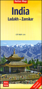
Ladakh and Zanskar at 1:350,000 on a contoured and GPS compatible, double-sided map from Nelles, now published on a light, waterproof and tear-resistant synthetic paper. Coverage extends from Kulu in the south to the Baltoro Range and the Nubra Valley in the north, with an inset extending the map westwards to include Srinagar, Jammu and Pathankot. Also provided is a street plan of Leh.The map shows the region’s mountainous topography by contours at 200m intervals with very effective relief shading, plus spot heights and mountain passes. In addition to roads and local cart tracks, trekking trails are also marked. Symbols indicate various facilities and places of interest including campsites, temples, hot springs and waterfalls, etc. Latitude and longitude lines are drawn at 10’ intervals. Map legend includes English. The street plan of Leh shows location of numerous hotels and includes an enlargement for the old town.This title supplements the publishers’ coverage of India on regional maps at 1:1,500,000 – to see other titles in this series please click on the series link.

Related Products:
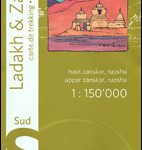 Ladakh & Zanskar South – Upper Zanskar – Rupshu Editions Olizane
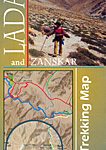 Ladakh and Zanskar Trekking Map
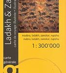 Ladakh & Zanskar Olizane Illustrated Travel Map
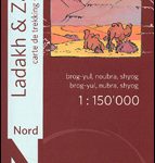 Ladakh and Zanskar North: Brog-Yul – Nubra – Shyog
 India: Ed. Olizane Trekking Maps of Ladakh and Zanskar
 Afghanistan Nelles Map
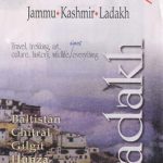 Ladakh – Jammu, Kashmir, Ladakh
 Hawaii – Oahu – Honolulu Nelles
 India North Nelles
 Java – Jakarta Nelles
 Hong Kong Nelles
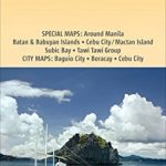 Philippines – Manila Nelles
 Cambodia – Angkor Nelles
 Bolivia – Paraguay Nelles
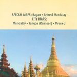 Myanmar / Burma Nelles
 Tunisia Nelles Map
 Sri Lanka Nelles
 Central Asia Nelles
 Sulawesi – Nusa Tenggara – East Timor Nelles
 Taiwan Nelles
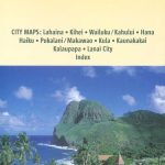 Hawaii – Maui – Molokai – Lanai Nelles
 Malaysia West – Singapore Nelles
 Ladakh – The Essential Guide – Kashmir – Manali
 Mexico Nelles
 Bali – Lombok Nelles
Kenya – Serengeti Nelles
Bali – Lombok Nelles
Kenya – Serengeti Nelles
 Lesbos Geopsis 211
 Colombia – Ecuador Nelles
 Cuba Nelles
 Korea North and South Nelles
 Ladakh, Jammu & the Kashmir Valley
 China North East Nelles Map
 India North East & Kolkata / Calcutta ITMB
 Bergen Cappelen Street Plan
 Hawaii – The Big Island Nelles
 South America – The Andes Nelles
 India West Nelles
 India East Nelles
 Argentina North – Uruguay Nelles