Disclosure : This site contains affiliate links to products. We may receive a commission for purchases made through these links.
La Senda de Camille Editorial Alpina
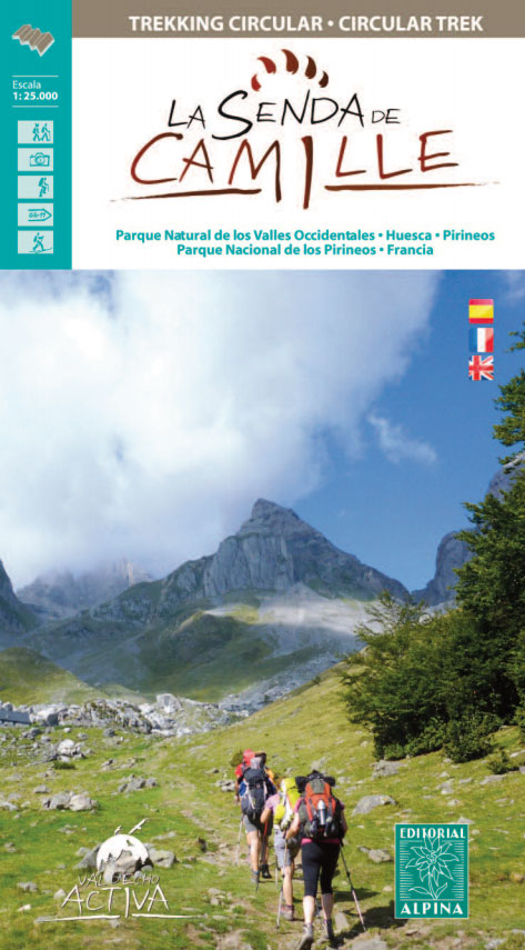
La Senda de Camille, the Pyrenean Bear Trail, a 104-km circuit in the central Pyrenees, on a contoured GPS compatible map at 1:25,000 from Editorial Alpina, plus a booklet providing information on mountain refuges. The route, which crosses over from the Spanish side to the Parc National des Pyrรฉnรฉes in France and incorporates part of the Pyrenees High Route (HRP), is highlighted on a detailed base with contours at 10m intervals and colouring to indicate vegetation. Also highlighted are shorter alternatives on the Spanish side which include part of the GR11. The map also shows local footpaths and other long-distance trails. Symbols indicate various types of accommodation (local hotels, campsites, mountain refuges and cabins, youth hostels), tourist information offices, sites for skiing, climbing and canyoning, car parks and picnic sites, etc. The map has a 1-km UTM grid.The accompanying booklet includes 11 pages in English with photos and full details of refuges and campsites along the Bear Trail, details of each recommended stage of the route and general information about the area.To see the list of all the maps from Editorial Alpina covering long-distance hiking routes please click on the series link.

Related Products:
 Spain: Editorial Alpina Maps of Long-distance Hiking Trails
La Alta Ruta de los Perdidos – Monte Perdido – Vignemale Editorial Alpina Hiking Circuit Map
Carros de Foc Hiking Circuit Editorial Alpina
Spain: Editorial Alpina Maps of Long-distance Hiking Trails
La Alta Ruta de los Perdidos – Monte Perdido – Vignemale Editorial Alpina Hiking Circuit Map
Carros de Foc Hiking Circuit Editorial Alpina
 Val d`Aran by UTMB Editorial Alpina Trail running race Map
 Valle de Benasque Editorial Alpina
 Mallorca – Tramuntana Central Editorial Alpina
 Mallorca – Tramuntana South Editorial Alpina
 Mallorca – Tramuntana North Editorial Alpina
Val d`Aran – Mauberme – Montardo – Molieres Editorial Alpina
Mallorca – Tramuntana North Editorial Alpina
Val d`Aran – Mauberme – Montardo – Molieres Editorial Alpina
 Cavalls del Vent – Cadi-Moixero Natural Park Hiking Circuit Editorial Alpina
 Aneto – Maladeta – PN Posets Editorial Alpina
 Valles de Belagua y Roncal Editorial Alpina
 Travessa 3 Refugis – Caranรงร – Ulldeter – Coma de Vaca Editorial Alpina
 Valle de Tena – Panticosa – Partacua – Sallent Editorial Alpina
 Sobrarbe Central – Ainsa – Boltana Editorial Alpina
 Andorra – Comapedrosa – Engorgs – Jucla – Pessons – Tristaina Editorial Alpina
 El Cinque Llac Map and Guide Editorial Alpina
 Pica d`Estats – Mont-roig Editorial Alpina
 Taga – Serra Cavallera Editorial Alpina
 Ordesa and Monte Perdido National Park Editorial Alpina
 Posets-Maladeta Natural Park 2-Map Set Editorial Alpina
 Costabona – Alta Val de Ter Editorial Alpina
 Congost de Mont-rebei Editorial Alpina
Ordesa – Monte Perdido National Park Editorial Alpina 2-Map Set
Congost de Mont-rebei Editorial Alpina
Ordesa – Monte Perdido National Park Editorial Alpina 2-Map Set
 Pica d`Estats – Mont-roig – Vall Ferrera – Valls de Cardos Editorial Alpina
Valles de Ansรณ & Echo Editorial Alpina
Pica d`Estats – Mont-roig – Vall Ferrera – Valls de Cardos Editorial Alpina
Valles de Ansรณ & Echo Editorial Alpina
 Sierra y Canones de Guara Editorial Alpina
 Ripollรจs Editorial Alpina
Vignemale – Valle de Bujaruelo Editorial Alpina
Spain: Editorial Alpina Walking Maps
Ripollรจs Editorial Alpina
Vignemale – Valle de Bujaruelo Editorial Alpina
Spain: Editorial Alpina Walking Maps
 El Turbรณn ‘“ Alto Valle de Isรกbena Editorial Alpina
 Muntanya d’Alinyร Editorial Alpina
Sant Llorenc del Munt i l`Obac Editorial Alpina
Vall de Barravรฉs – Ribagorรงa Editorial Alpina
Muntanya d’Alinyร Editorial Alpina
Sant Llorenc del Munt i l`Obac Editorial Alpina
Vall de Barravรฉs – Ribagorรงa Editorial Alpina
 Vall Fosca – Montsent de Pallars Editorial Alpina 2-Map Set
 Ordesa and Monte Perdido National Park 2-Map Set Editorial Alpina
 Catllarร s – Picancel Editorial Alpina
 Alt Pirineu Natural Park Editorial Alpina
Cingles de Berti – Sant Miquel des Fai Editorial Alpina
Puigsacalm – Bellmunt Editorial Alpina
Alt Pirineu Natural Park Editorial Alpina
Cingles de Berti – Sant Miquel des Fai Editorial Alpina
Puigsacalm – Bellmunt Editorial Alpina