Disclosure : This site contains affiliate links to products. We may receive a commission for purchases made through these links.
La Palma Kompass 232
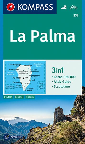
La Palma at 1:50,000 on a waterproof and tear-resistant, contoured and GPS compatible map from Kompass, with extensive tourist overprint, plus street plans of Santa Cruz de la Palma and Los Llanos de Aridane.Topography is vividly presented by contours at 100m intervals, enhanced by relief shading plus spot heights. An overprint highlights local hiking paths and the island’s two long-distance trails: Camino Real de la Costa (200km) and El Bastรณn: Puerto Tazacorte to Faro de Fuencaliente (87km), indicating steep or climbing sections. Also marked are recommended mountain bike routes and locations with cycle hire facilities. A wide range of symbols indicate campsites, youth hostels, locations for paragliding and other recreational pursuits, beaches and surfing sites, etc. The map has latitude and longitude margin ticks at 2’ intervals. Map legend includes English.Street plans of Santa Cruz de la Palma and Los Llanos de Aridane highlight important buildings and/or facilities, including selected accommodation, car parks, etc. PLEASE NOTE: the map comes with an illustrated booklet, in German only, describing the island’s main sights – the booklet is not available in an English edition.To see other Kompass maps of the Canary Islands please click on the series link.


