Disclosure : This site contains affiliate links to products. We may receive a commission for purchases made through these links.
La Palma F&B WKE2
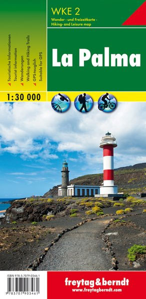
La Palma on a large, double-sided, GPS compatible map for exploring the island by car, by bike or on foot, with extensive overprint highlighting numerous places of interest and hiking or cycling routes, street plans, plus a booklet with hiking suggestions.The map has contours at 50m intervals with relief shading and spot heights, plus colouring and graphics to show woods, vineyards, banana plantations, calderas and lava fields. Extensive overprint highlights numerous hiking routes, including shorter SL trails of maximum 10kms, as well as cycling routes. Road network shows bus stops and locations of petrol stations and symbols mark various places of interest, campsites and mountain refuges, cycle hire facilities, climbing sites, beaches indicating nudist sites, etc. The map has a UTM grid and margin ticks for latitude and longitude at 5’ intervals. Map legend includes English.Insets provide street plans of Santa Cruz de la Palma, Los Cancajos, Puerto Naos and Los Llanos de Ariadne. The base map is an enlargement of cartography prepared for the publishers’ earlier map of the island at 1:30,000, so all place names are in large, clearly legible print. The accompanying booklet includes 11 pages of English text describing the island and its history and geography, plus seven hiking routes of varying length and difficulty.

Related Products:
 La Palma Kompass 232
 La Palma F&B
 La Palma F&B Pocket Map
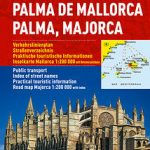 Palma de Mallorca City Map / Mallorca Road Map
 Mallorca F&B 2-Map Set
 La Palma – Caldera de Taburiente 2-Map Set Editorial Alpina
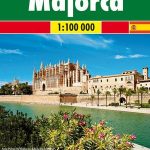 Mallorca F&B
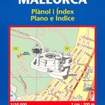
 Palma de Mallorca
 Caldera de Taburiente NP – La Palma CNIG Map-Guide ENGLISH
 Mallorca 4-Map Set Kompass 2230
 Bornholm Kompass 236
 Caldera de Taburiente NP – La Palma CNIG Map-Guide SPANISH
 Palma de Mallorca Michelin City Map
 Malta – Gozo Kompass 235
 Mallorca – Serra de Tramuntana
Mallorca – Alcudia – Playa de Muro – C`an Picafort
Mallorca – Serra de Tramuntana
Mallorca – Alcudia – Playa de Muro – C`an Picafort
 Mallorca K+F Outdoor Map
 Crete F&B Top 10 Tips
Mallorca – Pollenca – Port de Pollenca – Alcudia – Port d`Alcudia – Can Picafort
Crete F&B Top 10 Tips
Mallorca – Pollenca – Port de Pollenca – Alcudia – Port d`Alcudia – Can Picafort
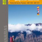
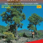
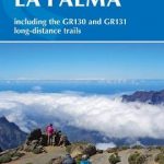 Walking on La Palma: Including the GR130 and GR131 long-distance trails
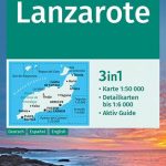 Lanzarote Kompass 241
 Landscapes along the River Ter Ed. Alpina 40K Map
 Sumatra – Medan Periplus Travel Map
 Rhodes F&B
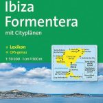
 Ibiza – Formentera Editorial Alpina
 Walk! La Palma
 Corsica F&B Top 10 Tips
 Canary Islands ITMB
 La Palma GERMAN
 Lake Constance F&B WKD10
 Istria Kompass 238
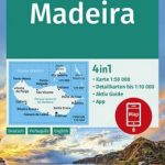
 Madeira F&B WKP1
 Fuerteventura Kompass 240
 Tatra F&B Top 10 Tips
 Madeira Kompass 234
 La Palma Tour & Trail Super-Durable Map
 Black Forest F&B Top 10 Tips
 La Palma
 Ibiza – Formentera Kompass 239
 Canary Islands West: Gran Canaria, Tenerife, La Palma, Gomera, Hierro 500K CNIG Regional Map No. 14