Disclosure : This site contains affiliate links to products. We may receive a commission for purchases made through these links.
Kyrgyzstan Reise Know-How

Related Products:
 Kyrgyzstan Climbers Map
 Kyrgyzstan Gizi Map
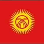 Flag of Kyrgyzstan
 Kyrgyzstan Wall Map
 Kyrgyzstan & Tajikistan ITMB
 Uzbekistan, Kyrgyzstan & Tajikistan ITMB
 Kyrgyzstan Bradt Guide
 Kyrgyzstan Republic – Heart of Central Asia
 Sovietistan: A Journey Through Turkmenistan, Kazakhstan, Tajikistan, Kyrgyzstan and Uzbekistan
 USA Reise Know-How
 Yemen Reise Know-How
 Venezuela Reise-Know-How Map
 Georgia Reise Know-How
 Armenia Reise Know-How
 Iran Reise Know-How
 Laos Reise Know-How
 Japan Reise Know-How
 Corsica Reise Know-How
 Thailand Reise Know-How
 Cyprus Reise Know-How
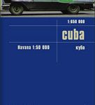 Cuba Reise Know-How
 Mexico Reise Know-How
 Azerbaijan Reise Know-How
 Argentina Reise Know-How
 Santorini Reise Know-How
 Kazakhstan Reise Know-How
 Kenya Reise Know-How
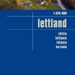 Latvia Reise-Know-How
Nepal Reise Know-How
Latvia Reise-Know-How
Nepal Reise Know-How
 Caucasus Reise Know-How
 Zambia Reise Know-How
 Alps Reise Know-How
Uganda Reise Know-How
Alps Reise Know-How
Uganda Reise Know-How
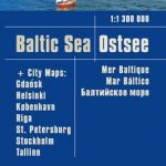 Baltic Sea Reise Know-How
 Belarus Reise Know-How
 Malaysia Reise Know-How
 Rhodes Reise-Know-How
 Ukraine Reise Know-How
Brazil Reise Know-How
Ukraine Reise Know-How
Brazil Reise Know-How
 Borneo Reise Know-How