Disclosure : This site contains affiliate links to products. We may receive a commission for purchases made through these links.
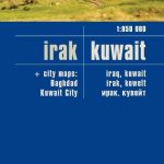
Kuwait & Kuwait City ITMB
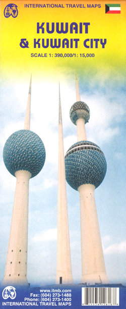
Kuwait at 1:390,000 plus an indexed street plan of Kuwait City at 1:15,000 from ITMB, each covering roughly one half of this map. The street plan highlights the network of main traffic arteries and indicates the proposed routes of metro lines. Various institutions, facilities and places of interest are marked, including selected hotels (with names), shopping centres, embassies, mosques, etc. Street index includes a list of district names.The map of Kuwait shows the country’s network of roads and desert tracks, with border crossing points to Saudi Arabia and Iraq. Oil fields and pipelines are marked, as well as the course of the proposed Gulf States railway line. The map has latitude and longitude lines at intervals of 30’ and is not indexed.All place names both on the road map and the street plan are given in Latin alphabet only.


