Disclosure : This site contains affiliate links to products. We may receive a commission for purchases made through these links.
Kuala Lumpur & Malay Peninsula ITMB
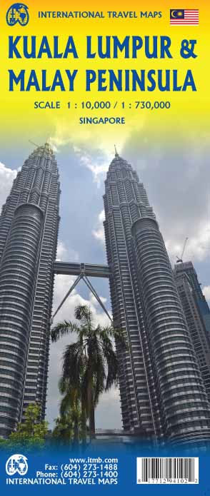
Street map of Kuala Lumpur at 1:10,000 covering the city from the Sentul Terminal and the Setapak Park in the north to the Chinese Cemetery in the south, and from the Parliament House (Bangunan Paliament) in the west to the Royal Selangor Golf Club in the east.Two insets show the Kuala Lumpur surroundings at 1:437,000 and a map of the Kuala Lumpur Transit system (metro, railway, mono-rail and inter-city rail lines).Detail includes markets, notable and public buildings, shopping malls, various religious buidings, accommodation, museums, theatres and cinemas, points of interest, post offices and police stations, bus terminals. Various railway systems and pedestrian roads are also indicated alongside land use, e.g. parks, markets, industrial areas, attractions, etc.Includes an extensive index of place names.

Related Products:
 Kuala Lumpur Flexi Map
 Kuala Lumpur Lonely Planet City Map
 Kuala Lumpur & Penang Luxe City Guide
 A Walking Tour Kuala Lumpur
 Luke Nguyen`s Street Food Asia: Saigon, Bangkok, Kuala Lumpur, Jakarta
 Insight Guides Explore Kuala Lumpur
 Singapore & Malay Peninsula ITMB
 Berlitz Pocket Guide Kuala Lumpur
 Insight Guides Pocket Kuala Lumpur
 Lonely Planet Pocket Kuala Lumpur
 Insider`s Kuala Lumpur
 Asian Grand Tour Luxe City Guide Box: Bangkok, Beijing, Hanoi, Hong Kong, Kuala Lumpur, Shanghai, Singapore & Tokyo
 Kuala Lumpur Under Cover II
 Lonely Planet Pocket Kuala Lumpur & Melaka
 India North East & Kolkata / Calcutta ITMB
 Malaysia ITMB
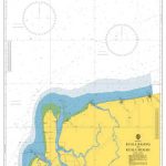 Admiralty Chart 3836 – Kuala Rajang to Kuala Mukah
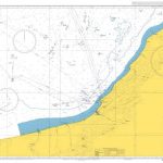 Admiralty Chart 3837 – Kuala Mukah to Kuala Niah
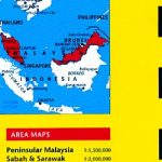
 Peninsular Malaysia Periplus Travel Map
 Stockholm & Southern Sweden ITMB
 Ho Chi Minh City / Saigon & Vietnam South ITMB
 Taiwan & Taipei ITMB
 Cairo & Nile Delta ITMB
 Warsaw & Poland East ITMB
 Sumatra ITMB
 Jakarta ITMB
 Malaysia Periplus Travel Map
 Bucharest Street Atlas
 Helsinki & Southern Finland ITMB
 Sydney & North Sydney UBD Gregory`s City Pocket 260
 Malaysia West – Singapore Nelles
 Japan Railway & Road ITMB Travel Atlas
 Moscow ITMB
 Jerusalem & Holy Land ITMB
 Melbourne UBD Gregory`s City Pocket 360
 Tel Aviv-Jaffa & Central Israel ITMB
 Riga City Center Jana Seta Street Plan
 Cape Town Walking Map
 Estonia & Tallinn ITMB
 Zurich & Switzerland NW ITMB