Disclosure : This site contains affiliate links to products. We may receive a commission for purchases made through these links.
Krakow City Centre and Panorama TerraNostra Map

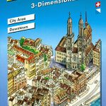
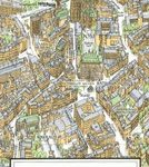
Krakรณw from Terra Nostra with two plans in one map: a beautiful 3-D panorama drawing of the city’s historic heart with all its buildings shown with full architectural details, plus a conventional street plan of the central districts.On one side is a conventional street plan covering central Krakรณw, extending well beyond the Old Town, to include the old Jewish district of Kazimierz and Podgรณrze. The plan highlights main historic buildings and monuments, cultural institutions, hotels, restaurants and bars, etc. One way streets and limited entry zones are marked. There is no street index but a list is provided with addresses and phone numbers of main museums, art galleries, concert halls, etc.On the reverse Krakรณw’s historic centre, from the Barbican and Brama Florianska to the Wawel Castle hill, is shown as a 3-D panorama. All the buildings are drawn with full architectural details, from rooftops and church spires to arcades and courtyards. The plan is annotated to show locations of its 28 most important buildings or monuments. Also provided is a small road map of the surrounding region including Wieliczka Salt Mine, Auschwitz, Wadowide, etc. Map legend and all the text include English.


