Disclosure : This site contains affiliate links to products. We may receive a commission for purchases made through these links.
Categories
-
Best Sellers
-
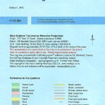
Marlborough Sounds
Marlborough Sounds region at the northern tip of New Zealand’s South Island at 1:130,000 in a series of contoured and GPS compatible maps from NewTopo NZ Read More » -
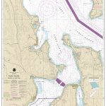
NOAA Chart 18477 – Puget Sound’”Entrance to Hood Canal
NOAA maintains the nautical charts and publications for U.S. coasts and the Great Lakes. Over a thousand charts cover 95,000 miles of shoreline and 3.4 million Read More » -

Sweden South – Malmo ‘“ Helsingsborg – Kalmar F&B
Sweden South: Malmรถ – Helsingsborg – Kalmar area in a series of detailed, indexed touring maps from Freytag & Berndt with the southern and central part Read More » -
Pingo
Pingo, map no. 9, in a series of topographic maps of popular coastal areas of southern and central Greenland. Countours are shown at 25-metre intervals, with Read More » -
Llantwit Major 1914
Llantwit Major in 1914 in a fascinating series of reproductions of old Ordnance Survey plans in the Alan Godfrey Editions, ideal for anyone interested in the Read More » -
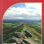
Brecon Beacons East Harvey Superwalker XT25
The eastern part of the Brecon Beacons at 1:25,000 on a light, waterproof and tear-resistant, contoured and GPS compatible map from Harvey Map Services in their Read More » -
Bieszczady ExpressMap Tourist Map
Bieszczady in a series covering Poland’s best hiking areas on waterproof and tear-resistant, laminated maps, specially designed to withstand repeated re-folding and even the worst weather Read More » -

Africa Western ITMB
Western Africa at 1:3,400,000 on an indexed, double-sided map from ITMB providing coverage of the whole of Benin, Burkina Faso, Gambia, Ghana, Guinea, Guinea Bissau, Ivory Read More » -

Caldera de Taburiente NP – La Palma CNIG Map-Guide ENGLISH
Caldera de Taburiente National Park on La Palma at 1:25,000 on a contoured and GPS compatible map from IGN/CNIG with cartography from their topographic survey of Read More » -
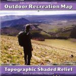
Yellowstone National Park Outdoor Recreation Map
Outdoor recreation map, topographic shaded relief. The only locally-made Yellowstone trail map. Covers the entire park, with detailed maps for the Mammoth Hot Springs, Tower / Read More »
-


