Disclosure : This site contains affiliate links to products. We may receive a commission for purchases made through these links.
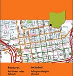
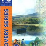
Kerry County
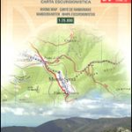
County Kerry at 1:100,000 in a series of double-sided, GPS-compatible maps from Xploreit Maps, with contours, altitude colouring, hiking trails and cycling routes, and printed on light, waterproof and tear-resistant plastic paper.Topography is shown by altitude colouring with contours (interval varies) and plenty of names of geographical features. Road network includes local secondary roads and tracks and gives driving distances on main routes. Scenic routes are highlighted. Railway lines are shown with station; local airports, harbours/marinas, and passenger ferry connections are also marked. An overprint highlights local waymarked hiking paths, long-distance walking trails and cycle routes. A wide range of symbols indicate various places of interest; antiquities, leisure facilities, museums and heritage sites, tourist information centres, campsites and caravan parks, etc. Each map is indexed and has latitude and longitude lines at intervals of 5’ and 10’ respectively, plus in the margin Irish national grid.

Related Products:
 Cork County
 Clare County
 Galway County
 Mayo and Sligo Xploreit Counties Map
 Ireland: Exploreit Maps of Irish Counties
 Kerry OSI Discovery 78
 Kerry OSI Discovery 83
 Cork – Kerry OSI Discovery 85
 Kerry (Dingle) OSI Discovery 70
 Kerry OSI Discovery 78 WATERPROOF
Clare – Kerry OSI Discovery 63
Kerry – Cork – Limerick OSI Discovery 72
Kerry OSI Discovery 78 WATERPROOF
Clare – Kerry OSI Discovery 63
Kerry – Cork – Limerick OSI Discovery 72
 Stockholm County Norstedts Road Map
 Donegal Xploreit County Map
 County Durham & North Yorkshire Sustrans Cycle Map 32
 Geoparque de las Sierras Subbeticas Editorial Piolet
 Kaunas and Environs
Anyksciai Regional Park Tourist Map
Dzukija National Park
ลฝemaitija National Park
Aukลกtaitijos National Park
Grazute – Sartai Regional Parks Tourist Map
Curonian Spit National Park
Panemuniu – Dubysa – Rambynas Regional Parks
Kaunas and Environs
Anyksciai Regional Park Tourist Map
Dzukija National Park
ลฝemaitija National Park
Aukลกtaitijos National Park
Grazute – Sartai Regional Parks Tourist Map
Curonian Spit National Park
Panemuniu – Dubysa – Rambynas Regional Parks
 Urzulei
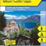 Lake Maggiore – Lake Orta – Lake Varese K+F Outdoor Map 8
 Italy: Zanetti 30K Maps of the Italian Alps
 Merano and Environs – Texel Group – Sarntal – Bolzano K+F Outdoor Map 2
 Cortina d`Ampezzo – Tre Cime di Lavaredo K+F Outdoor Map 6
Montenegro Coast
Lake Garda – Lake Idro – Monte Baldo – Verona K+F Outdoor Map 7
Lithuania: Alma Littera 100K Regional Maps
Cortina d`Ampezzo – Tre Cime di Lavaredo K+F Outdoor Map 6
Montenegro Coast
Lake Garda – Lake Idro – Monte Baldo – Verona K+F Outdoor Map 7
Lithuania: Alma Littera 100K Regional Maps
 Val Pusteria – Dolomiti di Sesto K+F Outdoor Map 5
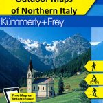 Italy: Kรผmmerly + Frey Outdoor Maps of Northern Italy
 Lake Como K+F Outdoor Map 9
 Martinique IGN 84972
 Bolzano – Caldaro – Wine Route – Eggental – Neumarkt – Cavalese K+F Outdoor Map 3
 Kalymnos – Telendos & Pserimos Anavasi 10.32
 Val Venosta / Vinschgau K+F Outdoor Map 1
 Monte Pisano