Disclosure : This site contains affiliate links to products. We may receive a commission for purchases made through these links.
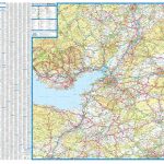
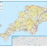
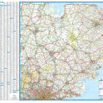
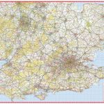
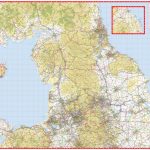
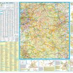
Kent A-Z Visitors` Wall Map

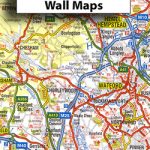
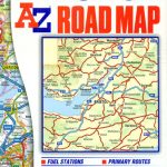
Kent wall map at 2.5 miles to 1″ (1:158,400) on an indexed road map in a regional series from A-Z with clear presentation of the road network, some topographic information, places of interest, etc. Also provided are plans of access to and the layout of the Eurostar car ferry terminals at Folkstone and Calais.The publisher’s cartography, also used in their 5 miles to 1″ series, is enlarged here to make local roads more prominent and provides all the standard motoring information: services, primary route destinations, toll barriers, gradients, etc. Railway lines are shown with stations. Topography is shown by altitude tints, if in rather broad bands, with additional spot heights (all in feet), plus colouring for woodlands. A range of symbols highlight various places of interest. The map shows the British national grid lines for GPS users. Current edition of this title was published in 2010.* This title is also availabe as a folded map.


