Disclosure : This site contains affiliate links to products. We may receive a commission for purchases made through these links.
Kazakhstan F&B
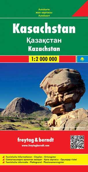
Kazakhstan at 1:2,000,000 on a large, indexed map from Freytag & Berndt with a street plan of central Astana. Most of the country is shown on one side; eastern Kazakhstan including Almaty (Alma-Ata) is presented as a separate panel on the reverse, with a small overlap between the sides. All place names (including in the border areas of Russia) are in the Latin alphabet but with names of larger towns also in Cyrillic.Topography is indicated by relief shading with numerous spot heights, plus graphics for deserts, salt flats, swamps, water wells, etc. Protected areas are highlighted. Road network includes desert tracks, indicates border crossings, and shows driving distances on main routes. Railway lines are included, local airports and various places of interest are marked. The map has latitude and longitude lines at 1ยบ intervals and is indexed. Multilingual map legend includes English.Also provided is a plan of central Astana naming main streets and important buildings.

Related Products:
 Kazakhstan Political Gizi Map
 Kazakhstan Political Wall Map
 Kazakhstan Geographical Gizi Map
 Kazakhstan & Uzbekistan ITMB
 Kazakhstan Geographical Wall Map
 Central Asia F&B
 Africa East & Central ITMB
 Ukraine – Moldova F&B
Sri Lanka & India South ITMB
Ukraine – Moldova F&B
Sri Lanka & India South ITMB
 Africa Northwest ITMB
 Argentina South & Tierra del Fuego ITMB
 Tunisia F&B
 Kazakhstan Reise Know-How
 Belarus ITMB
 Turkmenistan Gizi Map
 Quito & Central Ecuador ITMB
 Hungary F&B
 Hanoi – Vietnam North ITMB
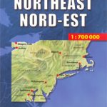 USA North-East
 South Africa – Namibia – Botswana Hallwag Road Map
 Mongolia ITMB
 Algeria ITMB
 Macedonia Gizi Map
 Zimbabwe Map Studio Adventure Map
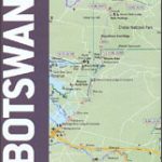 Botswana Map Studio Adventure Map
 Kenya ITMB
 Lima & Central Peru ITMB
 Central Asia ITMB
 Mongolia (Geographical Edition)
 Albania ITMB
 Mauritania Gizi Map
 Madagascar ITMB
 Colombia F&B
 Albania F&B
 Bulgaria – City Centres Domino Road Map
 Belarus F&B
 Macedonia Wall Map
 Bulgaria Cartographia Road Map
 South Australia Hema
 South Africa – Lesotho & Swaziland Map Studio