Disclosure : This site contains affiliate links to products. We may receive a commission for purchases made through these links.
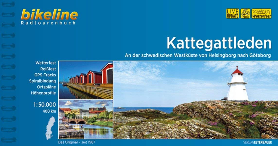
Kattegattleden Cycle Route
South-western Skรฅne Province Cycling Map in a series of 30 double-sided maps from Norstedts of the southern part of Sweden, printed on light, waterproof and tear-resistant synthetic paper. Mainland is covered at 1:90,000 with Gotland at 1:100,000.The maps, prepared in association with Cykelfrรคmjandet – Sweden’s largest national cycling organization, highlight all the national and other major cycle routes, plus a selection of local routes. The overprint indicates sections which are on gravel roads and/or not singposted. Also marked are selected hiking trails.A range of symbols indicate various facilities and places of interest, including campsites and youth hostels, wind shelters, cultural and historical sites, interesting nature and geological spots, etc. The maps provide a very detailed picture of the road network, including privately maintained roads open to the general public. Railway lines are shown with stations and ferry connections are marked. Topography is indicated by light relief shading with spot heights, plus colouring and/or graphics for forests and marshland. The maps have a UTM grid, plus latitude and longitude lines at intervals of 10’. Map legend includes English.Each map also provides phone numbers and web addresses of local tourist offices.

Related Products:
 Sweden: Norstedts 90K Cycling Maps
 Skane South-West Cycling Map 1
 The North West Trail Cycle Route
 Lรดn Las Cymru Cycle Route North: Holyhead – Llanidloes
 Rhine Cycle Route 4 – Speyer – Cologne Publicpress Cycle Touring 333
 Sea to Sea Cycle Route: Whitehaven/Workington – Newcastle/Sunderland
Rhine Cycle Route 2 – Lake Constance – Basel Publicpress Cycle Touring 302
Sea to Sea Cycle Route: Whitehaven/Workington – Newcastle/Sunderland
Rhine Cycle Route 2 – Lake Constance – Basel Publicpress Cycle Touring 302
 The Salmon Run – Dundee to Pitlochry Cycle Route
Rhine Cycle Route 3 – Basel – Speyer Publicpress Cycle Touring 368
The Salmon Run – Dundee to Pitlochry Cycle Route
Rhine Cycle Route 3 – Basel – Speyer Publicpress Cycle Touring 368
 Coast & Castles Cycle Route North: Edinburgh – Aberdeen
 Mรผnsterland Cycle Route Bikeleine Map-Guide
 London – Land`s End Cycle Route: Beautiful Cycling Across Southern England
 Danube Bend Cycle Atlas & Guide
 Bolzano – Caldaro – Wine Route – Eggental – Neumarkt – Cavalese K+F Outdoor Map 3
 Totnes & Dartmouth Cycle Map 62
 Sweden: Norstedts Regional Road Maps
 Vienna F&B Cycle Map RKW
 Lรดn Cambria & Lรดn Teifi: Mid-Wales Cycle Routes
 The Ultimate UK Cycle Route Planner
 Finland North Karttakeskus Outdoor Road Map
 Strangford Lough Cycle Trail
 Belgian Ardennes: Malmedy – Hautes Fanges National Park
 Exmouth & Sidmouth Cycle Map 61
 Braunton & Ilfracombe Cycle Map 60 – with Tarka Trail & Barnstaple
 Dzukija National Park
ลฝemaitija National Park
Aukลกtaitijos National Park
Curonian Spit National Park
Dzukija National Park
ลฝemaitija National Park
Aukลกtaitijos National Park
Curonian Spit National Park
 Finland East Karttakeskus Outdoor Road Map
 Finland West Karttakeskus Outdoor Road Map
 Paris and Environs
 Sweden South Reise Know-How
 Maubeuge – Dinant
 St. Quentin – Laon
 French Ardennes – Thiรจrache
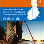
 Finland: Karttakeskus 250K/400K Outdoor Maps
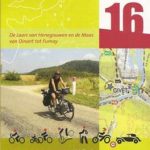
 The Meuse: Namur – Liege
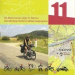
 Liege – Maastricht – Aachen
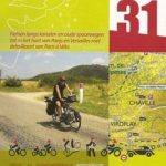
 Laon – Soissons – Reims
 Antwerp – Turnhout – Breda