Disclosure : This site contains affiliate links to products. We may receive a commission for purchases made through these links.
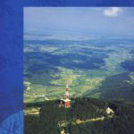
Kamnik-Savinja Alps
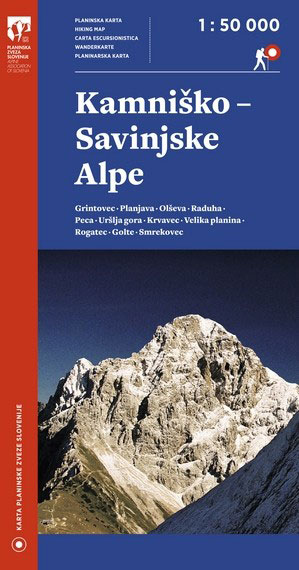
Kamnik and Savinja Alps at 1:50,000 in a series of contoured, GPS compatible recreational maps from Planinska zveza Slovenie – Slovenian Alpine Club, covering Slovenia’s popular hiking regions at 1:50,000 or 1:25,000. Contours are at 20m, with a 2km UTM grid plus 1’ margin ticks. On the reverse there are details of accommodation available in 26 mountain shelters in the area.Maps at 1:50,000 in the Planinska zveza series titles have contours enhanced by shading and graphic relief in the mountainous areas. An overprint highlights local hiking paths, indicating difficult sections. The maps show alpine huts, refuges, hostels, campsites and other types of accommodation, local bus stops, places of interest, etc. Each map covers an area of approximately 45 x 32km / 28 x 20 miles. Latitude and longitude lines are at 5` intervals, with margin ticks at 1’. On the reverse, most titles also carry detailed information on accommodation for hikers, including opening times of shelters, number of beds, distances to other huts and hostels, GPS coordinates, etc.Some areas are also covered at 1:25,000. Cartography and hiking information is similar the 1:50,000 series. Contour interval and geographical coordinates vary. Map legend includes English.PLEASE NOTE: map numbers given to the individual titles on our website correspond to our grid and may not necessarily be the same the numbers allocated by the publishers and shown on the different grids on the reverse of the various titles.

Related Products:
 Kamnik and Savinja Alps Kartografija WATERPROOF Hiking Map
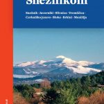
 Kamnik-Savinja Alps – Slovenian Carinthia
 Polhograjsko Hribovje Slovenian Alpine Club 25K Map
 Posavsko Hribovje East: Boc – Bohor Slovenian Alpine Club 50K Map
 Notranjska s Sneลพnikom
 Ljubljana and Environs Slovenian Alpine Club 50K Map
 Julian Alps – Steiner Alps – Kamnik Alps Kompass 2801
 Lechtal Alps – Allgau Alps F&B WK351
 Grintovci Slovenian Alpine Club 25K Map
 Storzic – Kosuta Slovenian Alpine Club 25K Map
 Jalovec and Mangart Slovenian Alpine Club 25k Map
 Triglav National Park
 Karavanke – Central Area
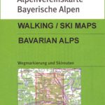
 Slovenia: Alpine Club 50K and 25K Hiking Maps
 Zillertal – Tuxer Alps – Jenbach – Schwaz F&B WK151
 Fischbach Alps – Roseggers Waldheimat – Mรผrzzuschalg F&B WK021
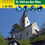 Central Carinthia – Gurktal Alps – Friesach – Feldkirchen – St. Veit an der Glan F&B WK231
 Hohe Wand – Schneebergland – Gutenstein Alps – Piestingtal – Lilienfeld F&B WK012
 Carinthian Alps – Gailtal – Gitschtal – Nassfeld – Lesachtal – Weissensee – Upper Drautal F&B WK223
 Mayrhofen – Zillertal Alps – Gerlos – Krimml – Tuxertal – Zell im Zillertal F&B WK152
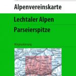 Lechtal Alps – Parseierspitze Alpenverein Map 3/3
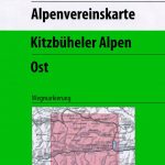 Kitzbuhel Alps East Alpenverein Map 34/2
 Chiemgau Alps East – Sonntagshorn Alpenverein KOMBI BY19
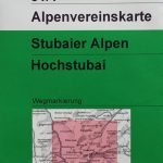 Stubai Alps – Hochstubai Alpenverein KOMBI Map 31/1
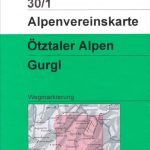 Otztal Alps – Gurgl Alpenverein KOMBI Map 30/1
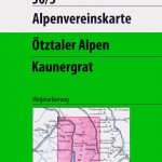 Otztal Alps – Kaunergrat Alpenverein KOMBI Map 30/3
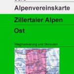 Zillertal Alps East Alpenverein KOMBI Map 35/3
 Zillertal Alps West Alpenverein Map 35/1
 Kitzbuhel Alps West Alpenverein Map 34/1
 Stubai Alps Central Alpenverein Map 31/4
 Lechtal Alps – Arlberg Alpenverein Map 3/2
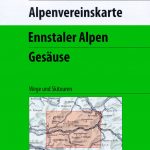 Ennstal Alps – Gesause Alpenverein KOMBI Map 16
Otztaler Alps – Geigenkamm Alpenverein Map 30/5
Ennstal Alps – Gesause Alpenverein KOMBI Map 16
Otztaler Alps – Geigenkamm Alpenverein Map 30/5
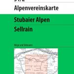 Stubai Alps – Sellrain Alpenverein KOMBI Map 31/2
 Chiemgau Alps Central – Hochgern – Hochfelln Alpenverein KOMBI BY18
 Allgau-Lechtal Alps East Alpenverein Map 2/2
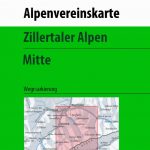 Zillertal Alps Central – Mayrhofen Alpenverein Map 35/2
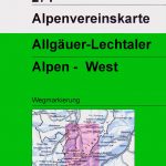 Allgau-Lechtal Alps West Alpenverein Map 2/1
 Lechtal Alps – Arlberg Alpenverein SKI Map 3/2
 Kitzbuhel Alps East Alpenverein SKI Map 34/2