Disclosure : This site contains affiliate links to products. We may receive a commission for purchases made through these links.
Jordan – Syria – Lebanon
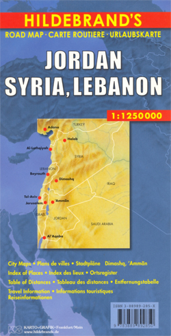
Jordan, Syria and Lebanon on an indexed overview map from Hildebrand, with street plans of central Amman and Damascus, notes on history and tourist attractions in Jordan and Syria, and a distance table. Topography is shown by subtle relief shading, spot heights and mountain passes, names of mountain ranges and deserts, plus numerous seasonal rivers and lakes. Road network includes desert tracks and shows distances on main routes. Railways and local airports are marked. Locations of interest are highlighted (although Krak des Chevaliers is not considered to be one!).All place names are transliterated with main towns given alternative versions (Halab/Aleppo). Political boundaries are drawn according to what is locally acceptable, i.e. pre-1967: the whole of the West Bank is shown as the Palestinian Autonomous Territory, with the Golan Heights shown as Syria, but both marked as under Israeli occupation. The map has no geographical coordinates. Map legend includes English.On the reverse are street plans of central Amman and Damascus, annotated with main places of interest, public buildings, embassies, etc. Notes in English, German and French describe Jordan’s and Syria’s history, climate and tourist attractions. Also included is a distance table.


