Disclosure : This site contains affiliate links to products. We may receive a commission for purchases made through these links.
Jharkhand
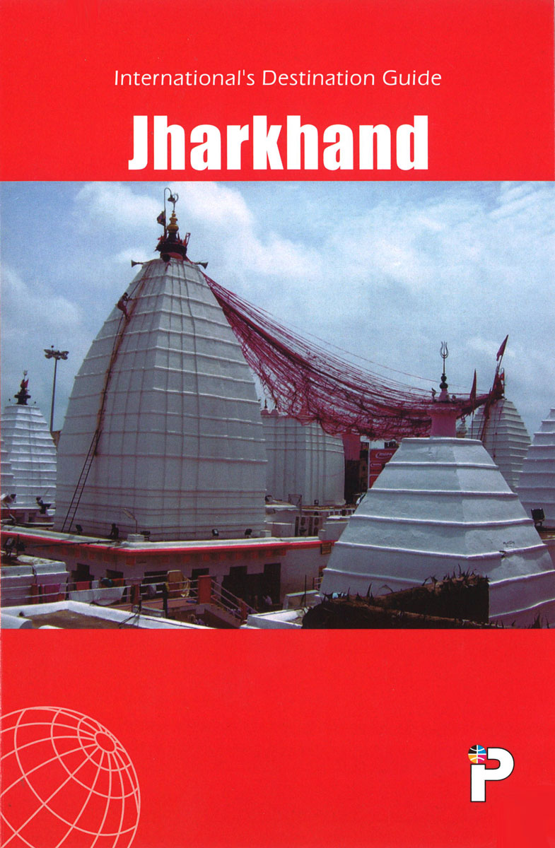
Indian state of Jharkhand on road map from the Delhi-based International Publications, showing many small towns and villages. Unless indicated to the contrary in the individual description, maps in this series present the state with its constituent districts in different colours and also show the division of districts into talukas. Town symbols indicate both district and taluka headquarters. Road network includes many local roads, some with driving distances, although sometimes locations are marked without road access to them shown on the map. Railway lines are included and local airports are marked. Symbols indicate various locations of interest, including historical sites, wildlife sanctuaries, beaches, etc.To see the list of titles in this series please click on the series link.

Related Products:
 Goa
Goa
 Karnataka Map-Guide
 Gujarat Map-Guide
 Andhra Pradesh
 Maharashtra Map-Guide
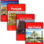
 Tamil Nadu Map-Guide
 Kerala & Lakshadweep Map-Guide
 Punjab Map-Guide
 Rajasthan Map-Guide
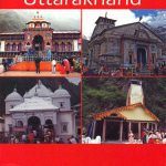 Uttarakhand Map-Guide
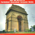 Delhi Map-Guide
 Uttar Pradesh Map-Guide
 Madhya Pradesh Map-Guide
 Varanasi (Benares) & Sarnath Map-Guide
 India: International Publications State Road Map/Guides
 Utah & Colorado ITMB
 Baden-Wรผrttemberg Official Road Map
 Portugal F&B
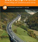 Slovenia – Istria
 Oregon
 Venezuela F&B
 Greece 700K F&B
 Middle East F&B
 Canada Central: Western Ontario, Manitoba, Saskatchewan Reise-Know-How Map
 Vietnam – Laos – Cambodia F&B
 Romania – Moldova F&B
 Netherlands F&B
 New England – Hudson Valley Michelin Regional 581
 Montana Eastern Recreational Map
 Belgium F&B
 Germany North F&B
 Bali – Lombok – Komodo F&B
 USA Western Railroads/Highways ITMB
 France North F&B
 Pyrenees F&B
 Arizona Recreational Map
 Germany South F&B
 Oklahoma Recreational Atlas & Gazetteer
 Alaska ITMB
 Idaho Recreational Map