Disclosure : This site contains affiliate links to products. We may receive a commission for purchases made through these links.
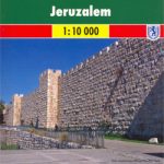
Jerusalem in 3-D Wall Map
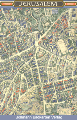
Unusual and beautiful wall map showing bird’s-eye view plan of Jerusalem, extending westwards from the Mount of Olives, across the Old City and the central area, to the government districts around the Knesset, Israel Museum and the Shrine of the Book, and the Hebrew University. The buildings are drawn to scale with full architectural detail, viewed at a slightly oblique perspective looking northwards. All the important buildings are identified, using their English names, and the map also provides an excellent picture of the city’s unique topography.The map was drawn in 1969, so any changes since that date will not, of course, be reflected. Coverage of the Old City is also available separately in an enlarged version, both as a wall map and in a folded format.

Related Products:
 Jerusalem: Old City in 3-D Wall Map
 Jerusalem Old City Bird`s Eye View
 Syria Gizi Wall Map
 Jerusalem – the Old City
 Turkmenistan Gizi Wall Map
 China Central Wall Map
 China North-East Wall Map
 Vatican City Wall Map
 Silk Road Countries Wall Map
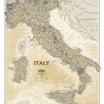
 Italy NGS Classic Wall Map PAPER
 China North-West Wall Map
 Italy NGS Executive Wall Map PAPER
 China South Wall Map
 Kyrgyzstan Wall Map
 Kazakhstan Geographical Wall Map
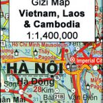 Vietnam – Laos – Cambodia Wall Map
 Balkans NGS Classic Wall Map PAPER
 Oman and United Arab Emirates Wall Map
 Kazakhstan Political Wall Map
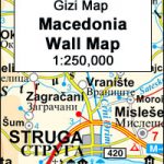 Macedonia Wall Map
 World F&B Political Wall Map LARGE
 Central Asia Road Edition Wall Map
 Mali Wall Map
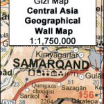 Central Asia Geographical Edition Wall Map
 Italy NGS Classic Wall Map ENCAPSULATED
 Middle East: Maps International Political Wall Map
 Mauritania Wall Map
 China Gizi Map Geographical Wall Map
 Egypt Wall Map
 South America Maps International Political Wall Map PAPER
Italy NGS Executive Wall Map ENCAPSULATED
South America Maps International Political Wall Map PAPER
Italy NGS Executive Wall Map ENCAPSULATED
 Mediterranean Countries NGS Classic Wall Map PAPER
India Road Edition Wall Map
Mediterranean Countries NGS Classic Wall Map PAPER
India Road Edition Wall Map
 World: Future Map Company Sinu-Mollweide Projection Political Wall Maps
 South America: Maps International Political Wall Map HANGING STRIPS
 Germany NGS Executive Wall Map PAPER
 Germany NGS Classic Wall Map PAPER
World Maps International Glow in the Dark Wall Map
Germany NGS Classic Wall Map PAPER
World Maps International Glow in the Dark Wall Map
 Jerusalem F&B
Afghanistan – Kabul & 5 Cities Street Plans Gizi Wall Map
Jerusalem F&B
Afghanistan – Kabul & 5 Cities Street Plans Gizi Wall Map