Disclosure : This site contains affiliate links to products. We may receive a commission for purchases made through these links.
Jebel Acacus
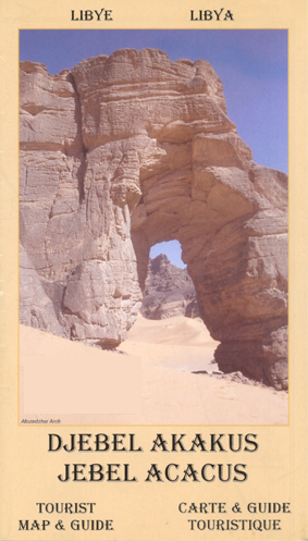
Topographic map of this highland region in the south west of the country, with notes for visitors. The cartography is based on Russian military mapping, and complemented by more recent survey work. Road detail distinguishes surfaced and unsurfaced roads, ill-defined routes and paths. Relief is shown by contours at 40m intervals, with additional spot heights and elements indicating escarpments, rock towers, sand, dunes, seasonally flooded areas, waterholes, cultivated land, and areas of palm trees and sparse vegetation. Hill ranges and wadis are named, and built up areas and border post are shown. The main map at 1:100,000 map covers an area of approximately 68x93km, from latitude 24ยฐ30’N to 25ยฐ20’N, and from longitude 10ยฐ10’E to 10ยฐ50’E. The towns of Ghat and Al Barkat appear on the western edge. Latitude and longitude lines are drawn at 5’ intervals. On the reverse is a smaller map at 1:400,000 which continues the coverage northwards to include Al Awainat. The map legend is in English and French. Also on the reverse: notes (in English and French) on access to the area, and on its geography and cave art sites. Eighty-five of the latter sites are listed, and some are marked on the map.

Related Products:
 Narsarsuaq
 Vlasina Lake
 Secuimea Szekelyfold Cartographia Road Map
 Greenland & North Pole ITMB
 Bulgaria (with Sites and Landmarks)
 Romania Cartographia Road Map
 Suva Mountains
 The Hills of Siena & Bosco di Lecceto 25K Ed. Multigraphic Map No. 509
 Alta Maremma – Parco di Montioni 25K Ed. Multigraphic Map No. 507
 Stara Planina
Sisimiut
Manitsoq
Tasiilaq
Narsaq
Stara Planina
Sisimiut
Manitsoq
Tasiilaq
Narsaq
 Qaqortoq
Kangerlussuaq
Qasigiannguit
Ilulissat
Qaqortoq
Kangerlussuaq
Qasigiannguit
Ilulissat
 Nuuk
Pingo
Ivittuut
Nanottalik
Appussuit
Nuuk
Pingo
Ivittuut
Nanottalik
Appussuit
 Strandzha Mountains: Burgas to the Turkish Border Domino Map
Eqi Hiking Map
Strandzha Mountains: Burgas to the Turkish Border Domino Map
Eqi Hiking Map
 Messina
Bray
Wes Rand
Kroonstad
Prieska
Koffiefontein
Williston
Kei Mouth
Grahamstown
Oudtshoorn
Springbok
Pofadder
Vryheid
Kimberley
Messina
Bray
Wes Rand
Kroonstad
Prieska
Koffiefontein
Williston
Kei Mouth
Grahamstown
Oudtshoorn
Springbok
Pofadder
Vryheid
Kimberley