Disclosure : This site contains affiliate links to products. We may receive a commission for purchases made through these links.
Japan Nelles
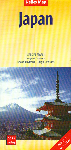
Japan at 1:1,500,000 on a double-sided, waterproof and tear-resistant map from Nelles, with its smaller size sheet offering a convenient format for use when travelling. Enlargements show in greater detail the environs of Tokyo – Yokohama, Osaka – Kobe, and Nagoya. The map divides the country north/south with Tokyo shown on both sides. On one side two panels cover the northern part of Honshu and Hokkaido, with an enlargement for the environs of the Tokyo -Yokohama area. On the reverse is southern part of Honshu and Kyushu Island, plus separate panels showing the smaller groups of islands including Okinawa and the Sakishima Archipelago. Insets show the environs of Osaka and Nagoya in greater detail. Topography is shown by relief shading with spot heights and names of mountain ranges. The map presents the country’s road and rail networks, with a separate list of expressways on each side. Local airports and ferry connections are also marked. Overprint highlights various places of interest. The map has latitude and longitude margin ricks at intervals of 1ยฐ and is not indexed. Map legend includes English.

Related Products:
 Japan South ITMB Railway & Road Map
 Japan North & Hokkaido ITMB
 Osaka & Western Japan ITMB
 Japan ITMB
 Japan West & Central Railway & Road ITMB
 Tokyo & Central Japan ITMB
 Japan Bilingual Map
 Japan Bilingual Atlas
 Japan – A Traveller`s Literary Companion
 Kyoto & Japan West ITMB
 Japan Railway & Road ITMB Travel Atlas
 Japan F&B
 Drinking Japan
 Tokyo – Yokohama
 India East Nelles
 Sights and Scenes of Japan
 India North Nelles
 India West Nelles
 Japan Periplus Travel Map
 Japan Reise Know-How
 India Northeast – Bangladesh Nelles
 Japan: Highlights of a Fascinating Country
 Hello Sandwich Japan: A Travel Guide by Creative Ebony Bizys
 Otaku Japan: The Fascinating World of Japanese Manga, Anime, Gaming, Cosplay, Toys, Idols and More! (Covers over 450 locations with more than 400 photographs and 21 maps)
 The Rough Guide to Japan (Travel Guide with Free eBook)
 Papua & Maluku Islands Nelles
 Lost Japan: The Photographs of Felice Beato and the School of Yokohama (1860-1890)
 Rice, Noodle, Fish: Deep Travels Through Japan`s Food Culture
 Japan Michelin
 India South Nelles
 Thailand Nelles
 Lonely Planet Best Day Walks Japan
 Lonely Planet Japan
 Tokyo Borch
 Tokyo City Atlas – a Bilingual Guide
 Lonely Planet Best of Japan
 Because Japan
 NP41 Japan Pilot Vol 1 2021
 Moon Japan (First Edition): Plan Your Trip, Avoid the Crowds, and Experience the Real Japan
 Berlitz Pocket Guide Japan