Disclosure : This site contains affiliate links to products. We may receive a commission for purchases made through these links.
Jamaica Reise Know-How
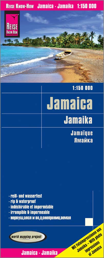
Indexed, waterproof and tear-resistant road map of Jamaica with topographic and tourist information, published by Reise Know-How as part of their highly acclaimed World Mapping Project. The map is double-sided to provide the best balance between a good scale and a convenient size sheet. The island’s topography is presented by altitude colouring with contours and spot heights. Swamps and coral reef are marked. Internal administrative boundaries are shown with names of the provinces. Road network includes unsurfaced local roads and tracks, and indicates driving distances on main and secondary roads. Railways and local airfields are also shown. Symbols highlight various places of interest, including national parks and botanical gardens, viewpoints, golf courses, beaches and surfing sites, etc. The map has both a UTM grid and a latitude and longitude grid at intervals of 10’, plus an extensive index of localities. Map legend includes English.

Related Products:
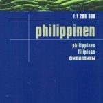 Philippines Reise Know-How
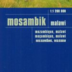 Mozambique – Malawi Reise Know-How
 Dominican Republic – Haiti Reise Know-How
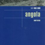 Angola Reise Know-How
 Venezuela Reise-Know-How Map
 Costa Rica Reise Know-How
 South Africa Reise Know-How
 Jordan Reise Know-How
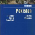 Pakistan Reise Know-How
 Madagascar Reise Know-How
 Costa Rica – Panama Reise Know-How
 Zambia Reise Know-How
 Romania – Moldova Reise Know-How
 Ireland Reise Know-How
 Pyrenees Reise Know-How
 Crimea Reise Know-How
 Iraq – Kuwait Reise Know-How
 Bhutan Reise Know-How
 Poland Reise Know-How
 Zimbabwe Reise Know-How
 Senegal – Gambia Reise Know-How
 Baltic States Reise Know-How
 Iran Reise Know-How
 Tanzania Reise Know-How
 Nicaragua – Honduras – El Salvador Reise Know-How
 Trinidad and Tobago Reise Know-How
 Poland Southeast Reise Know-How
 Ghana – Togo Reise Know-How
 Cape Region – South Africa Reise Know-How
 Serbia – Montenegro – Kosovo Reise Know-How
Uganda Reise Know-How
Serbia – Montenegro – Kosovo Reise Know-How
Uganda Reise Know-How
 Crete Reise Know-How
 Azerbaijan Reise Know-How
 Bolivia Reise Know-How
 Poland Southwest Reise Know-How
 Botswana Reise Know-How
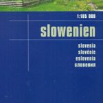 Slovenia Reise Know-How
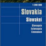 Slovakia Reise Know-How
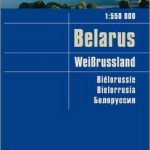 Belarus Reise Know-How