Disclosure : This site contains affiliate links to products. We may receive a commission for purchases made through these links.
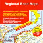
Italy: Touring Club Italiano Regional Smart Maps
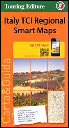
Maps of popular sightseeing regions of Italy presented by the Touring Club Italiano on Smart Maps printed on light, waterproof and tear-resistant synthetic paper. The maps use the cartography of TCIโ€s bestselling regional series at 1:200,000, but enlarged on most titles to 1:175,000 and accompanied by publishersโ€ recommendations for how to get the best of the region. Map legend and all the text are in ITALIAN only.On one side is the map annotated with information for sightseeing (Vedere e Visitare), including descriptions of main sights and, where appropriate, town maps or plans of important buildings. On the reverse are notes about other aspects of the region: natura e ambiente, arte e cultura, manifestazioni, sapori e ambiante, and tempo libero, all based on TCIโ€s vast experience of presenting the countryโ€s heritage and culture.Cartography is either an enlargement of TCIโ€s excellent regional series at 1:200,000 or taken directly from that series. Road network is presented in great detail, from motorways to dirt tracks navigable only with difficulty. Minor roads are very clear and easy to read and, where necessary, are drawn without generalizing their course, showing the twists and turns across the mountainous terrain. Steep roads are annotated with three levels of gradient markings. Railway network shows stations and level crossings and, where appropriate, ferry routes are marked. Towns and villages of particular interest are highlighted, with symbols indicating various monuments, castes, churches, etc. In mountainous areas refuges, cable car lines, chair lifts, etc. are marked. The maps have no geographical co-ordinates.


