Disclosure : This site contains affiliate links to products. We may receive a commission for purchases made through these links.
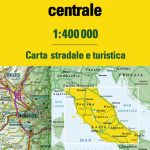
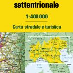
Italy North – Central TCI 500K Road Map
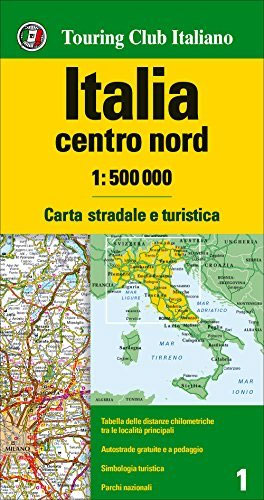
Northern and central Italy up to Rome presented at 1:500,000 by the Touring Club Italiano on a double-sided map designed to stress the network of motorways and main connecting routes. The map highlights numerous scenic roads and the country’s national parks. Coverage, with a good overlap and Bologna on both sides, extends south to include Rome.Plain white base without any shading makes the road network stand out better, and yet the map carries a large amount of topographic information, not just in the Alps or the Dolomites but throughout the whole country with spot heights and names of numerous mountain ranges and peaks. National parks are prominently coloured. Road network stresses motorways but also highlights numerous scenic routes, clearly indicating by their density the most beautiful parts of the country. A range of small symbols, not as prominent as on some tourist-orientated maps but still clear to see on the plain background, marks various places of interest, including architectural and cultural heritage, archaeological sites, natural curiosities, parks and gardens, etc. The map has no geographical coordinates and is not indexed. Map legend includes English.Also included is a comprehensive distance table for the whole country.


