Disclosure : This site contains affiliate links to products. We may receive a commission for purchases made through these links.
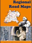
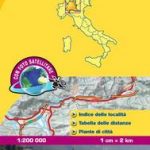
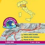
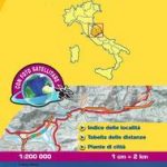
Italy: Michelin 200K Regional Road Maps
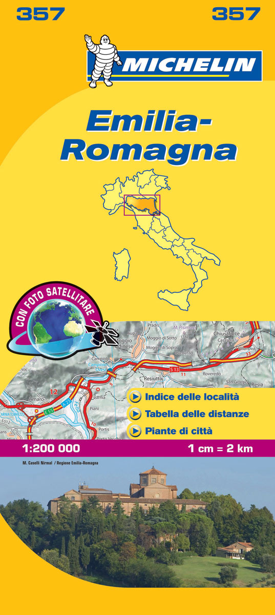
Indexed 1:200,000 scale regional maps of Italy with street plans of main cities. Topography is indicated by bold relief shading with spot heights and colouring for forested areas. Detailed road information, characteristic of Michelinโ€s maps, includes toll and free sections of motorways, road widths, difficult or dangerous roads, restrictions and seasonal closures, steep gradients, level crossings and fords, etc. Railway lines are shown with stations and car ferry routes indicate maximum tonnage. Also included is a distance/driving time table for quick and easy reference.Tourist information includes selected campsites, places of interest, scenic routes and viewpoints, sport and leisure facilities, etc. The maps have a grid showing latitude and longitude at intervals of 10โ€. The index of place name is next to the map; map legend includes English.

Related Products:
 Spain: Michelin Regional Road Maps
 Italy: Kรผmmerly + Frey 200K Regional Road Maps
 Italy: Touring Club Italiano 200K Regional Road Maps
 Portugal: Michelin Regional Road Maps
 France: Michelin 200K Regional Road Maps
 Switzerland: Michelin 200K Road Maps
 Italy: MairDumont Marco Polo 200K Regional Road Maps
 Germany: Michelin Regional Road Maps
 Poland: Michelin Regional Road Maps
 Lazio Michelin Local 360
 Calabria Michelin Local 364
 Germany: Marco Polo 200K Regional Road Maps
 Abruzzo – Molise Michelin Local 361
 Lombardy Michelin Local 353
 Veneto Michelin Local 355
 Tuscany Michelin Local 358
 Sardinia Michelin Local 366
 Benelux: Michelin Regional Road Maps and Atlases
 Croatia: Freytag & Berndt 200K Regional Road Maps
 Emilia-Romagna Michelin Local 357
 Friuli-Venezia Giulia Michelin Local 356
 Apulia / Puglia Michelin Local 363
 Norway: Freytag & Berndt Regional Road Maps
 Trentino-Alto Adige Michelin Local 354
 Campania – Basilicata Michelin Local 362
 Sicily Michelin Local 365
 Germany: Freytag & Berndt 200K Regional Road Maps
 Umbria – the Marches Michelin Local 359
 Andalucia Michelin Regional 578
 Aragon – Catalonia Michelin Regional 574
 Piemonte – Aosta Valley Michelin Local 351
 Galicia Michelin Regional 571
 Liguria Michelin Local 352
 Norway: Norstedts Regional Road Maps
 Balearic Islands Michelin Regional 579
 Asturias – Cantabria Michelin Regional 572
 Castilla y Leon – Madrid Michelin Regional 575
 Comunidad Valenciana – Murcia Michelin Regional 577
 Basque Country – Navarra – La Rioja Michelin Regional 573
 Extremadura – Castilla-la Mancha – Madrid Michelin Regional 576