Disclosure : This site contains affiliate links to products. We may receive a commission for purchases made through these links.
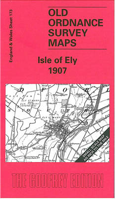
Isle of Ely 1907 – 173

Related Products:
 Isle of Wight: Cowes 1907
 Admiralty Chart SC5616_27 – Isle of Mull to Isle of Lewis
 Two Islands Pilgrimage Way = 64 Miles: Early Christianity Pilgrimage Walk from Ramsgate, Isle of Thanet via Minster, Canterbury, Faversham, Sittingbourne to Ninster Abbey on the Isle of Sheppey
 Portsea 1907 – 83.07b
 Southsea 1907 – 83.12b
 Wetherby 1907 – 172.14
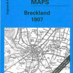 Breckland 1907 – 174
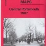 Central Portsmouth 1907 – 83.08b
 Milnrow & Newhey 1907 – 89.06
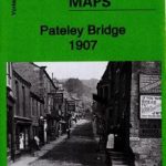 Pateley Bridge 1907 – 135.04
 Wakefield & District 1907 – 78
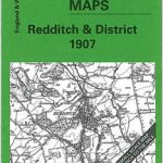 Redditch & District 1907 – 183
 Diss & District 1907 – 175
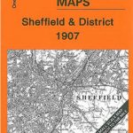 Sheffield & District 1907 – 100
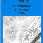 Hunstanton & The Wash 1907 – 129
 Wisbech & District 1907 – 159
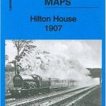 Hilton House 1907 – 86.14
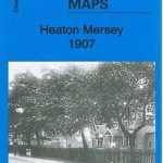 Heaton Mersey 1907 – 10.14
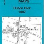 Hulton Park 1907 – 94.08
 Shaw & Crompton 1907 – 89.14
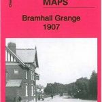 Bramhall Grange 1907 – 19.07
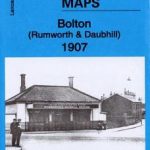 Bolton (Rumworth & Daubhill) 1907 – 94.04
 King`s Lynn & District 1907 – 145
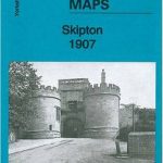 Skipton 1907: Yorkshire Sheet 168.05
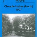 Cheadle Hulme (North) 1907 – 19.06
 Daisy Hill & Bag Lane 1907 – 94.11
 An Historical Map of Canterbury – from Roman Times to 1907
 Todmorden (East) 1907: Yorkshire Sheet 229.11
 Hart Common & Dobb Brow 1907 – 94.06
 National Geographic North Pole Regions – Published 1907
 Walking on the Isle of Wight: 24 Coastal and Countryside Walks and the Isle of Wight Coastal Path
 Wigan 1907 – 93.08b
 Bootle 1907
Newport 1907 – 95.02
Bootle 1907
Newport 1907 – 95.02
 Bollington 1907
 Barnoldswick 1907
 Heywood 1907
Westhoughton 1907
Blackrod 1907
Heywood 1907
Westhoughton 1907
Blackrod 1907
 Hayes 1907