Disclosure : This site contains affiliate links to products. We may receive a commission for purchases made through these links.
Islands of the Galician Coast National Park CNIG Map-Guide SPANISH
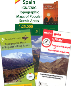
Islands of the Galician Coast National Park (PN Marรญtimo-Terrestre de las Islas Atlรกnticas de Galicia) at 1:25,000 on a contoured and GPS compatible map from IGN/CNIG with cartography from their topographic survey of Spain. The four groups of islands which form this national park are presented as a separate panel: Illa de Cortagada with the adjoining mainland around O Carril, Illa de Ons, Illa de Sรกlvora with the surrounding smaller islands, and Illas Cรญes (Monte Agudo, Faro and San Martino). Also provided is a panel with a road map of the adjoining mainland around Pontevedra and Vigo. The map is accompanied by a 58-page Spanish language guide with general information, notes on access from the mainland, details of accommodation facilities, as well as descriptions of recommended walks.The mapping at 1:25,000 has contours at 10m intervals enhanced by relief shading, plus colouring and graphics to show different types of vegetation, a 1km UTM grid and margin ticks for latitude and longitude. Map legend is in Spanish only.To see other titles in this series please click on the series link.


