Disclosure : This site contains affiliate links to products. We may receive a commission for purchases made through these links.
Ireland Reise Know-How
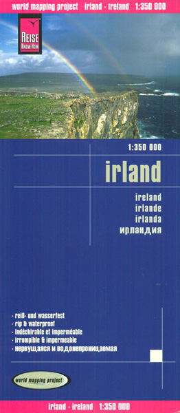
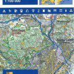
Ireland ‘“ Irish Republic and Northern Ireland ‘“ at 1:350,000 on a light, waterproof and tear-resistant, indexed map from Reise-Know How, published as part of their highly acclaimed World Mapping project. The map divides Ireland north/south, with Dublin included on both sides. Landscape is presented by light altitude colouring with names of hill ranges and other topographic features and highlighting for national parks and other protected areas. Road network includes local roads, gives driving distances (in kms) on main and secondary roads, and shows locations of petrol stations. Railway lines, ferry links, and local airports are included. Symbols highlight various places of interest including campsites and caravan parks, UNESCO World Heritage sites, archaeological remains, etc. The map has a latitude and longitude grid at intervals of 20’ and an index of place names which includes a separate list of places of interest. Map legend includes English.

Related Products:
 Ireland Marco Polo Map
 Ireland Adventure Map
 Croatia Reise Know-How
 Rhodes Reise-Know-How
 Norway South Reise Know-How
 Angola Reise Know-How
 Indochina: Vietnam – Laos – Cambodia Reise Know-How
 Mozambique – Malawi Reise Know-How
 Russia – Urals to Lake Baikal Reise Know-How
 Armenia Reise Know-How
 Poland Southeast Reise Know-How
 Ecuador – Galapagos Islands Reise Know-How
 Poland Southwest Reise Know-How
 Poland: Reise-Know-How Touring Maps with Historic Place Names
 Namibia Reise Know-How
 Yucatan Reise Know-How
 Taiwan Reise Know-How
 Bhutan Reise Know-How
 Madagascar Reise Know-How
 Portugal Reise Know-How
 Tuscany Reise Know-How
 Corfu Reise Know-How
 Uganda Reise Know-How
 Finland Road Atlas GLOVEBOX, SPIRAL-BOUND
 Cuba Reise Know-How
 Guatemala – Belize Reise Know-How
 Thailand Reise Know-How
 Sri Lanka Reise Know-How
 Crimea Reise Know-How
 Uzbekistan Reise Know-How
 Cameroon & Gabon Reise-Know-How Map
 Cuba NGS Adventure Map 3112
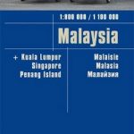 Malaysia Reise Know-How
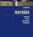 Morocco Reise Know-How
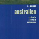 Australia Reise Know-How
 Romania – Moldova Reise Know-How
 Ukraine Reise Know-How
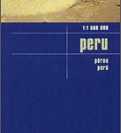 Peru Reise Know-How