Disclosure : This site contains affiliate links to products. We may receive a commission for purchases made through these links.
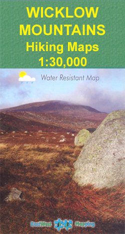
Ireland: EastWest Mapping Hiking Maps of the Wicklow Mountains

Wicklow Mountains, including the Dublin Mountains on the outskirts of the capital, on detailed, GPS compatible maps at 1:30,000 or 1:25,000 from EastWest Mapping, printed on light, waterproof and tear-resistant plastic paper.The maps have contours at 20m or 10m intervals, enhanced by altitude colouring and graphics showing scree, peat bogs, marshland, gorse, different types of woodlands, cultivated areas, etc. The map shows the boundary of the Wicklow Mountains National Park and highlights the Wicklow Way, the Dublin Mountain Way, St. Kevin`s Way and other agreed access routes. Hillwalking access points are marked and notes provide information on the rules of public access to the land. A wide range of symbols indicate various places of interest including hotels and campsites, pubs, shops, restaurants, rock climbing and bird watching sites, recreational facilities, historical and geological sites, etc. The maps have a 1-km UTM grid and each title also provides a list of useful websites for additional information.


