Disclosure : This site contains affiliate links to products. We may receive a commission for purchases made through these links.
Ireland: Collins Road Atlases
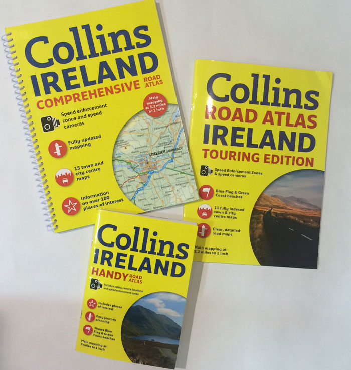
Road atlases of Ireland from Collins available in three formats and at three different scales with the corresponding reductions in the presentation of the road network and the number of locations marked on the maps: Comprehensive A4 spiral-bound at 1:200,000/1โ€ to 3.2 miles, Touring A4 paperback at 1:328,000/1โ€ to 5.2 miles, plus A5 paperback at 1:588,235/1โ€ to 9.3 miles. Each version also contains different additional features such as street plans (15 in the Comprehensive, 11 in the Touring and 6 in the Handy), descriptions of places of interest, lists of Blue Flag and Green Coast beaches, etc.Road network is presented on mapping with altitude colouring, spot heights, plenty of names of topographic features such as mountain ranges, peaks, etc, plus additional colouring and/or graphics for national parks and beaches. Symbols indicate various places of interest, including historical and cultural sites, nature reserves, Blue Flag and/or Green Coast beaches, etc. โ€“ please see individual descriptions for more details.

Related Products:
 Ireland Collins Road Atlas Touring Edition
 Ireland Collins Handy Road Atlas
 Ireland Collins Comprehensive Road Atlas
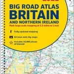
Britain and Northern Ireland Collins Big Road Atlas 2023 A3 PAPERBACK
Ireland Collins Comprehensive Road Atlas
Britain and Northern Ireland Collins Big Road Atlas 2023 A3 PAPERBACK
 Ireland Collins Touring Map
 Britain and Northern Ireland Collins Big Road Atlas 2021 A3 PAPERBACK
 Britain and Northern Ireland Collins Big Road Atlas 2022 A3 PAPERBACK
 Britain and Northern Ireland Collins Essential Road Atlas 2021
Britain and Northern Ireland Collins Big Road Atlas 2023 A3 SPIRAL-BOUND
Britain and Northern Ireland Collins Essential Road Atlas 2022 A4 SPIRAL-BOUND
Ireland Collins Road Map 2023
Britain and Northern Ireland Collins Essential Road Atlas 2021
Britain and Northern Ireland Collins Big Road Atlas 2023 A3 SPIRAL-BOUND
Britain and Northern Ireland Collins Essential Road Atlas 2022 A4 SPIRAL-BOUND
Ireland Collins Road Map 2023
 Ireland Collins Road Map 2021
 Great Britain: A-Z Regional Road Maps and Atlases
Great Britain: Philip`s Road Atlases
Great Britain: A-Z Regional Road Maps and Atlases
Great Britain: Philip`s Road Atlases
 Britain and Northern Ireland Collins Big Road Atlas 2022 A3 SPIRAL-BOUND
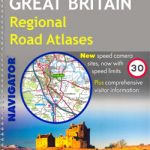 Great Britain: Philip`s Navigator Regional Road Atlases
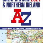
Great Britain & Northern Ireland A-Z Road Atlas 2023 A3 PAPERBACK
Great Britain: Philip`s Navigator Regional Road Atlases
Great Britain & Northern Ireland A-Z Road Atlas 2023 A3 PAPERBACK
 Great Britain & Northern Ireland A-Z Road Atlas 2022 A3 PAPERBACK
 Great Britain & Northern Ireland A-Z Road Atlas 2021 A3 PAPERBACK
Britain and Ireland Collins Handy Road Atlas 2023 A5 SPIRAL-BOUND
Great Britain & Northern Ireland A-Z Road Atlas 2021 A3 PAPERBACK
Britain and Ireland Collins Handy Road Atlas 2023 A5 SPIRAL-BOUND
 Australia: UBD Gregory`s Road Atlases
Scotland Collins Road Map 2023
Australia: UBD Gregory`s Road Atlases
Scotland Collins Road Map 2023
 USA: Rand McNally Road Atlases 2018
 Britain and Ireland Collins Handy Road Atlas 2022 A5 SPIRAL-BOUND
 Britain and Ireland Collins Handy Road Atlas 2021 A5 SPIRAL-BOUND
 Great Britain & Northern Ireland: Philip`s County Street Atlases
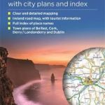 Ireland Philip`s Road Map
USA: Benchmark Road and Recreational Atlases of Western USA
Ireland Philip`s Road Map
USA: Benchmark Road and Recreational Atlases of Western USA
 Jamaica Collins Road Map
 Northern Ireland Collins Pocket Map – The perfect way to explore Northern Ireland
Great Britain & Northern Ireland A-Z Super Scale Road Atlas 2023 A3 SPIRAL-BOUND
Northern Ireland Collins Pocket Map – The perfect way to explore Northern Ireland
Great Britain & Northern Ireland A-Z Super Scale Road Atlas 2023 A3 SPIRAL-BOUND
 Great Britain & Northern Ireland A-Z Super Scale Road Atlas 2022 A3 SPIRAL-BOUND
 Ireland Collins Handy Map
 USA: DeLorme State Road Atlases
 Australia: Hema Road Atlases and Touring/Camping Guides
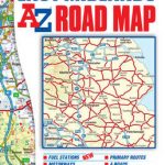 East Midlands A-Z Road Map
 Mexico: ITMB Regional Road Maps
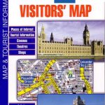 Great Britain: A-Z Visitors` Maps and Atlases
 Britain & Ireland Philip`s Complete Road Atlas 2017 SPIRAL-BOUND
 Scotland Collins Handy Road Atlas