Disclosure : This site contains affiliate links to products. We may receive a commission for purchases made through these links.
Iraq Wall Map
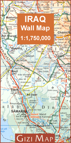
A clear and detailed 73x67cm map with relief depicted by elevation tinting and spot heights. Landscape features such as lakes, salt lakes, salt flats, water holes, swamps & deserts are distinguished and archeological sites are highlighted and listed in a table.The map shows various categories of roads with distances marked between points, also railways, oil & gas piplines, airports, ports & administrative boundaries.Lines of latitude and longitude are drawn at 1ยฐ intervals.An index of place names is included.

Related Products:
 Iraq Gizi Map
 India Geographical Wall Map
 China – Mongolia
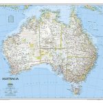 Australia NGS Classic Wall Map PAPER
 The Americas NGS Classic Wall Map PAPER
 India (Geographical edition)
 India Gizi Road Map
 Botswana F&B
 Iraq & Baghdad ITMB
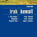 Iraq – Kuwait Reise Know-How
 Morocco Wall Map
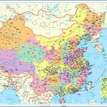
 China Gizi Map Geographical Wall Map
 Angola
 New Zealand Wall Map
 Oman and United Arab Emirates Wall Map
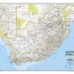 South Africa NGS Classic Wall Map PAPER
 Caucasus Geographical Edition Wall Map
 Iraq NGS Classic Wall Map PAPER
 Tajikistan – The Pamirs Gizi Map Wall Map
 Uzbekistan Gizi Map Wall Map
 Caucasus Road Edition Wall Map
 China South Central
 Kiev Administrative Region
 China Gizi Map Administrative Wall Map
Zaporizhzhia Administrative Region
Zhytomyr Administrative Region
Ternopil Administrative Region
Khmelnytskyi Administrative Region
Lviv Administrative Region
Dnipropetrovsk Administrative Region
Mikolayiv Administrative Region
Rivne Administrative Region
Chernihiv Administrative Region
Kharkiv Administrative Region
Cherkasy Administrative Region
Poltava Administrative Region
Kirovohrad Administrative Region
Kherson Administrative Region
Chernivtsi Administrative Region
Sumy Administrative Region
China Gizi Map Administrative Wall Map
Zaporizhzhia Administrative Region
Zhytomyr Administrative Region
Ternopil Administrative Region
Khmelnytskyi Administrative Region
Lviv Administrative Region
Dnipropetrovsk Administrative Region
Mikolayiv Administrative Region
Rivne Administrative Region
Chernihiv Administrative Region
Kharkiv Administrative Region
Cherkasy Administrative Region
Poltava Administrative Region
Kirovohrad Administrative Region
Kherson Administrative Region
Chernivtsi Administrative Region
Sumy Administrative Region