Disclosure : This site contains affiliate links to products. We may receive a commission for purchases made through these links.
Ipswich – Felixstowe A-Z Street Atlas
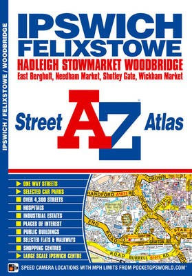
This A-Z map of Ipswich and Felixstowe includes 62 pages of street mapping covering:- Belstead- Bentley- Bramford- Bramtham- Capel St. Mary- Chelmondiston- Claydon- East Bergholt- Great Blakenham- Grundisburgh- Hadleigh- Holbrook- Martlesham- Needham Market- Port of Felixstowe- Rushmere St. Andrew- Shotley Gate- Sproughton- Stowmarket- Stratford St. Mary- Stutton- Trimley St. Mary- Trimley St. Martin- Wickham Market- WoodbridgeAlso included is a large scale town centre map of Ipswich.Postcode districts, one-way streets and safety camera locations with maximum speeds are featured on the street mapping.The index section lists streets; selected flats, walkways and places of interest; place, area and station names; hospitals and hospices covered by this atlas.

Related Products:
 Liverpool A-Z Street Atlas
 Merseyside A-Z Street Atlas
 Greater Manchester A-Z Street Atlas
 Norwich A-Z Street Atlas
 Coventry – Rugby A-Z Street Atlas
 Southampton A-Z Street Atlas
 Cardiff A-Z Street Atlas
 Bournemouth A-Z Street Atlas
 Birmingham A-Z Street Atlas
 Brighton and Worthing A-Z Street Atlas
 Nottingham A-Z Street Atlas
 Manchester A-Z Street Atlas
 Edinburgh A-Z Street Atlas
 Portsmouth A-Z Street Atlas
 Nottingham – Ilkeston – Long Eaton – West Bridgford A-Z Street Atlas
 Suffolk – Ipswich – Bury St Edmunds – Felixstowe – Suffolk Coast Cycle Route Sustrans Cycle Map 18
 Southampton – Eastleigh – Fawley – Hythe – Romsey A-Z Street Atlas
 Newcastle upon Tyne A-Z Street Atlas
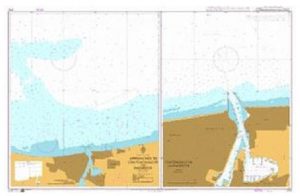
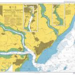 Admiralty Chart 2693 – Approaches to Felixstowe – Harwich and Ipswich with the Rivers Stour – Orwell and Deben
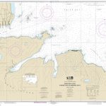
 Ipswich 1902 – 75.11
Ipswich South-West 1902
Ipswich 1902 – 75.11
Ipswich South-West 1902
 Canterbury – Margate – Ramsgate A-Z Street Atlas
 London A-Z Big Street Atlas
 Reading A-Z Pocket Street Map
 Newcastle upon Tyne A-Z Pocket Street Map
 London A-Z Street Atlas
 Ipswich, Felixstowe & Harwich – Woodbridge & Manningtree OS Explorer Map 197 (paper)
 Glasgow Premier A-Z Wall Map PAPER
 Ipswich, Felixstowe & Harwich – Woodbridge & Manningtree OS Explorer Active Map 197 (waterproof)
 Cambridge A-Z Pocket Street Map
 Swansea A-Z Pocket Street Map
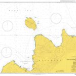
 Ipswich and The Naze 1805
 Liverpool A-Z Pocket Street Map
Ipswich & The Naze 1898-1899
Liverpool A-Z Pocket Street Map
Ipswich & The Naze 1898-1899
 Greater London A-Z Master Atlas
 Canterbury A-Z Pocket Street Map
 Nottingham A-Z Pocket Street Map
 York A-Z Pocket Street Map
 Birmingham A-Z Pocket Street Map
 Bournemouth A-Z Pocket Street Map