Disclosure : This site contains affiliate links to products. We may receive a commission for purchases made through these links.
Instructional Chart 5046 – English Channel – Newhaven to Calais
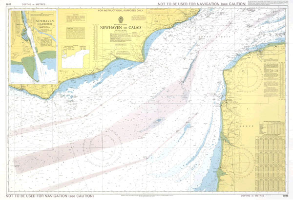
Instructional charts are useful for training and examination puposes. They are not maintained for the latest information and should not be used for navigation.
Related Products:
 Instructional Chart 5055 – English Channel – Newhaven To Calais
 Instructional Chart 5041 – Thames Estuary
 Instructional Chart 5042 – Arklow to the Skerries Islands
 Instructional Chart 5049 – English Channel
 Instructional Chart 5048 – Old Head of Kinsale to Tuskar Rock
 Instructional Chart 5053 – English Channel – Western and Central Portions
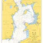 Instructional Chart 5130 – Irish Sea with Saint George`s Channel and North Channel
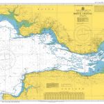 Instructional Chart 5047 – Bristol Channel
 Instructional Chart 5051 – Land`s End to Falmouth
 Instructional Chart 5135 – Cape Breton to Delaware Bay
 Instructional Chart 5138 – Approaches to Auckland
 Instructional Chart 5072 – Falsterbo to Oland
 Instructional Chart 5119 – Rauna to Tanager
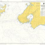 Instructional Chart 5139 – Approaches to Wellington
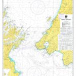 Instructional Chart 5140 – Cook Strait
 Instructional Chart 5050 – Falmouth To Plymouth
 Instructional Chart 5052 – Dover Strait
 Instructional Chart 5136 – Entrance to Milford Haven
 Instructional Chart 5056 – Start Point to the Needles
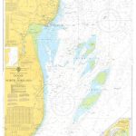 Instructional Chart 5061 – Dover to North Foreland
 ADMIRALTY Instructional Training Charts
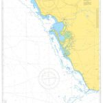 Instructional Chart 5114 – Approaches to Rio Guadalquivier and Bahia de Cadiz
 Instructional Chart 5054 – Flamborough Head to Blakeney Point
 Instructional Chart 5118 – Singapore Strait and Eastern Approaches
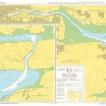 Instructional Chart 5132 – Port of Cork Upper Harbour
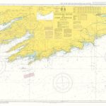 Instructional Chart 5134 – Kenmare River to Cork Harbour
 Instructional Chart 5137 – St Ann`s Head to Newton Noyes Pier
 Instructional Chart 5133 – Port of Cork Lower Harbour and Approaches
 Instructional Chart 5131 – Saint Govan`s Head to Saint David`s Head
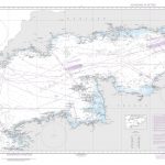 NGA Chart 36005 – English Channel
 Sound Signals Instructional Card
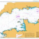 Admiralty Chart 2675 – English Channel
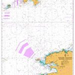 Admiralty Chart 2655 – English Channel, Western Entrance
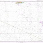 Admiralty Chart 2649 – Western Approaches to the English Channel
 Admiralty Chart 2656 – English Channel, Central Part
 Admiralty Chart 4103 – English Channel to the Strait of Gibraltar and the Arquipelago dos Acores
 SHOM Chart 7323 – Pas de Calais – De Boulogne-sur-Mer ร Calais et de Dungeness ร Dover
 SHOM Chart 7424 – Pas de Calais – De Calais ร Dunkerque et de Dover ร North Foreland
 SHOM Chart 7323L – Pas de Calais – De Boulogne-sur-Mer ร Calais et de Dungeness ร Dover – Leisure A4 size
 SHOM Chart 7424L – Pas de Calais – De Calais ร Dunkerque et de Dover ร North Foreland – Leisure A4 size


