Disclosure : This site contains affiliate links to products. We may receive a commission for purchases made through these links.
Instructional Chart 5042 – Arklow to the Skerries Islands

Instructional charts are useful for training and examination puposes. They are not maintained for the latest information and should not be used for navigation.
Related Products:
 Instructional Chart 5041 – Thames Estuary
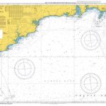 Instructional Chart 5048 – Old Head of Kinsale to Tuskar Rock
 Instructional Chart 5046 – English Channel – Newhaven to Calais
 Instructional Chart 5051 – Land`s End to Falmouth
 Instructional Chart 5072 – Falsterbo to Oland
 Instructional Chart 5119 – Rauna to Tanager
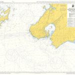 Instructional Chart 5139 – Approaches to Wellington
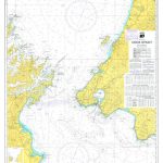 Instructional Chart 5140 – Cook Strait
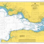 Instructional Chart 5047 – Bristol Channel
 Instructional Chart 5050 – Falmouth To Plymouth
 Instructional Chart 5052 – Dover Strait
 Admiralty Chart 1468 – Arklow to the Skerries Islands
 Instructional Chart 5136 – Entrance to Milford Haven
 Instructional Chart 5056 – Start Point to the Needles
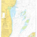 Instructional Chart 5061 – Dover to North Foreland
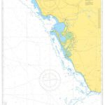 Instructional Chart 5114 – Approaches to Rio Guadalquivier and Bahia de Cadiz
 Instructional Chart 5054 – Flamborough Head to Blakeney Point
 Instructional Chart 5118 – Singapore Strait and Eastern Approaches
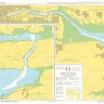 Instructional Chart 5132 – Port of Cork Upper Harbour
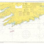 Instructional Chart 5134 – Kenmare River to Cork Harbour
 Instructional Chart 5138 – Approaches to Auckland
 Instructional Chart 5049 – English Channel
 Instructional Chart 5137 – St Ann`s Head to Newton Noyes Pier
 Instructional Chart 5133 – Port of Cork Lower Harbour and Approaches
 ADMIRALTY Instructional Training Charts
 Instructional Chart 5135 – Cape Breton to Delaware Bay
 Instructional Chart 5055 – English Channel – Newhaven To Calais
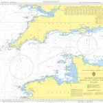 Instructional Chart 5053 – English Channel – Western and Central Portions
 Instructional Chart 5131 – Saint Govan`s Head to Saint David`s Head
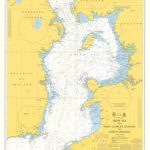 Instructional Chart 5130 – Irish Sea with Saint George`s Channel and North Channel
 Admiralty Chart SC5621_4 – Skerries Islands
 Sound Signals Instructional Card
 Admiralty Chart SC5609_15 – Conwy, Pwllheli and The Skerries
 Admiralty Chart SC5621_13 – Harbours on the East Coast of Ireland: Dun Laoghaire Harbour – Wicklow – Arklow
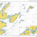 Admiralty Chart 3284 – Moul of Eswick to Lunna Holm including Out Skerries
 NGA Chart 81141 – Palau Islands [Caroline Islands]
 NGA Chart 81338 – Truk Islands [Caroline Islands]
 NGA Chart 29122 – Argentine Islands to Brabant Islands
 NGA Chart 29106 – Plans on the Ant. Penn. and Adj. Islands-Melchoir Islands
 NGA Chart 81345 – Mortlock Islands, East Caroline Islands


