Disclosure : This site contains affiliate links to products. We may receive a commission for purchases made through these links.
Indonesia Periplus Travel Map
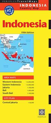
Indonesia on a double-sided map at 1:4,000,000 from Periplus, with more detailed presentation of Bali and Bali’s southern tourist region, a large street plan of central Jakarta, plus a map of the capital with its outer suburbs.On one side are the islands Western Indonesia: Sumatra, Kalimantan, Java, Bali, Lombok and most of Sumbawa, plus the whole of the Peninsular Malaysia. The network of main roads and railways is shown on a base with bold relief shading with spot heights for main peaks. Local airports are marked and main places of interest highlighted, but ferry connections are not included. The map also shows internal administrative divisions with names of the provinces. Latitude and longitude lines are drawn at intervals of 5ยฐ. On the reverse similar mapping at 1:4,000,000 covers Eastern Indonesia, from Sulawesi and Sumbawa eastwards, including Flores, Timor, the Maluku Islands and the Indonesian part of Papua. This side also includes an enlargement of Bali at 1:500,000 with a more detailed map at 1:100,000 of the island’s popular central area including Kuta and Denpasar, annotated with numerous beaches, tourist accommodation, etc. None of the maps or plans are indexed.Also included is a large street plan of central Jakarta at 1:30,000 highlighting various facilities, tourist accommodation, etc, plus a road map of the whole city with its outer suburbs at 1:100,000.

Related Products:
 Lombok & Komodo Periplus Travel Map
 Java & Bali Periplus Travel Map
 Tuttle Travel Pack Indonesia: Your Guide to Indonesia`s Best Sights for Every Budget
 Indonesia: Periplus Regional Maps
 Bali Periplus Travel Map
 Laos Periplus Travel Map
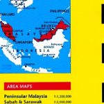
 Peninsular Malaysia Periplus Travel Map
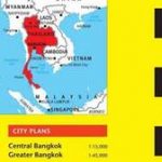
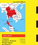 Thailand Periplus Travel Map
 Shanghai Periplus Travel Map
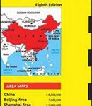 China Periplus Travel Map
 Lesser Sunda Islands – Bali to East Timor Reise Know-How
 Singapore Periplus Travel Map
 New Guinea (Papua New Guinea and Indonesia) ITMB
 The Ultimate Bali Travel Guide: Bali & Nusa Lembongan, Gili Islands, Lombok
 Okinawa & the Ryukyu Islands Periplus Travel Map
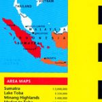 Sumatra – Medan Periplus Travel Map
 Cambodia Periplus Travel Map
 Indonesia: Nelles Regional Maps
 Indonesia: Reise-Know How Regional Maps
 Sri Lanka Periplus Travel Map
 Malaysia Periplus Travel Map
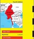 Myanmar / Burma Periplus Travel Map
 India Periplus Travel Map
 Indonesia Globetrotter Travel Guide
 Diving in Indonesia: The Ultimate Guide to the World`s Best Dive Spots: Bali, Komato, Sulawesi, Papua, and More
 Tokyo Periplus Travel Map
 NP34 Indonesia Pilot Vol 2
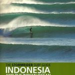 The Stormrider Surf Guide Indonesia & the Indian Ocean
 Hong Kong & Macau Periplus Travel Map
 Bali – Lombok Nelles
 History Of Modern Indonesia
 South East Asia ITMB
 Enchanting Indonesia (2nd edition)
 Bangkok Periplus Travel Map
 Japan Periplus Travel Map
 DK Eyewitness Travel Guide Bali and Lombok
 Insight Guides Indonesia
 Bali & Lombok ITMB