Disclosure : This site contains affiliate links to products. We may receive a commission for purchases made through these links.
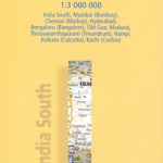
India South Reise Know-How
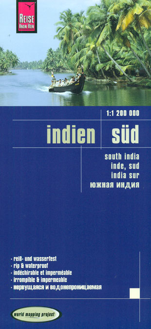
Southern India at 1:1,300,000 on a light, waterproof and tear-resistant, indexed road map from Reise-Know-How with topographic and tourist information. The map, part of the publishers’ highly acclaimed World Mapping Project, is double-sided to provide the best balance between a good scale and a convenient size sheet. Coverage along the western coast starts north of Mumbay at Vadodara (Baroda), and along the coast of the Bay of Bengal at Anakapalle. Andaman, Nicobar and Lakshadweep Islands are included on insets.Topography is presented by altitude colouring with spot heights and names of mountain ranges, peaks and valleys, plus graphics for swamps, salt pans, etc. Road network includes selected local roads and tracks, indicating driving distances on main routes. Railway lines are included and local airports are marked. National parks and other protected areas are highlighted, and symbols show locations of various UNESCO sites, forts and palaces, temples and other religious buildings, natural curiosities, beaches, etc. The map has a latitude and longitude grid at intervals of 1ยฐ and an index of place names. Map legend includes English.To see coverage of India on other regional maps from Reise-Know-How please click on the series link.

Related Products:
 India Northeast Reise Know-How
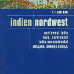 India Northwest Reise Know-How
 India South Adventure Map
 New Zealand – South Island Reise Know-How
 India Northeast NGS Adventure Map 3012
 India Adventure Map
 Norway South Reise Know-How
 Sri Lanka & India South ITMB
 Guatemala – Belize Reise Know-How
 Mexico Reise Know-How
 Argentina Reise Know-How
 Portugal Reise Know-How
 Sri Lanka Reise Know-How
 Poland Southeast Reise Know-How
 New Zealand Reise Know-How
 China East – North and South Korea Reise Know-How
 India: Reise Know-How Regional Road Maps
 Thailand Reise Know-How
 Azerbaijan Reise Know-How
 Australia Reise Know-How
 Peru Reise Know-How
 Poland Southwest Reise Know-How
 Ireland Reise Know-How
 New Zealand – North Island Reise Know-How
 Malaysia Reise Know-How
 Egypt Reise Know-How
 Chile Reise Know-How
 South Africa Reise Know-How
 Poland: Reise-Know-How Touring Maps with Historic Place Names
 Armenia Reise Know-How
 Canada Central: Western Ontario, Manitoba, Saskatchewan Reise-Know-How Map
 Uzbekistan Reise Know-How
 Cape Region – South Africa Reise Know-How
 Sumatra Reise-Know-How Map
 Albania Reise Know-How
 South Africa – Namibia – Botswana Hallwag Road Map
 Croatia Reise Know-How
 Indochina: Vietnam – Laos – Cambodia Reise Know-How
 India South Borch