Disclosure : This site contains affiliate links to products. We may receive a commission for purchases made through these links.
India: Reise Know-How Regional Road Maps
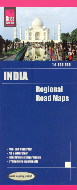
India on indexed, waterproof and tear-resistant road maps with topographic and tourist information, published by Reise Know-How as part of their highly acclaimed World Mapping Project. The maps are double-sided to provide the best balance between a good scale and a convenient size sheet.The maps have altitude colouring with spot heights and names of hills and mountain ranges, plateaux, valleys, etc. Swamps, mangroves, sandy areas, glaciers, waterfalls and hot springs are indicated. Detailed road network and railways are easy to see on the base map, and local airports and airfields are marked. Nature reserves and bird sanctuaries are highlighted, and symbols show locations of various UNESCO sites, forts and palaces, temples and other religious buildings, natural curiosities, beaches, etc. The maps have a latitude and longitude grid at intervals of 1ยฐ and an index of place names. Map legend includes English.*โ€World Mapping Projectโ€* is an extensive series of maps at varying scales, aiming to provide coverage of countries and regions worldwide using clear, well presented cartography with both topographic and tourist information. Some titles in this series have been published in Britain by Rough Guides with the same original cartography and are listed on our website only under that imprint. *Sample of cartography:*Some elements of the cartography e.g. minor roads and contours are printed relatively faintly compared with other information such as major roads. Although clearly legible on the map, the lower contrast of these details has made them less obvious on the reproduction of the cartography presented here.

Related Products:
 Canada: Reise Know-How Regional Road Maps
 China: Reise Know-How Road Maps
 Afghanistan Reise-Know-How Map
 Kazakhstan Reise Know-How
 Azores Reise Know-How
 Turkey Reise Know-How
 Lithuania Reise Know-How
 Venezuela Reise-Know-How Map
 Trinidad and Tobago Reise Know-How
 Spain: CNIG 500K Regional Road Maps
 Czechia Reise Know-How
 Central America Reise-Know-How Map
 Hungary Reise Know-How
 Great Britain: A-Z Regional Road Maps and Atlases
 Uganda Reise Know-How
 Peru Reise Know-How
 Baja California Reise Know-How
 Albania Reise Know-How
Italy Reise Know-How
Albania Reise Know-How
Italy Reise Know-How
 Bolivia Reise Know-How
 Ukraine Reise Know-How
 Algarve Reise Know-How
 Indonesia: Reise-Know How Regional Maps
 Ghana – Togo Reise Know-How
 Istria Reise Know-How
 Rhodes Reise-Know-How
 Africa Southern Reise Know-How
 Pakistan Reise Know-How
Southern Sweden and Norway Reise Know-How
Pakistan Reise Know-How
Southern Sweden and Norway Reise Know-How
 USA: Reise Know-How Regional Touring Maps
 Africa West – Sahara Reise Know-How
 Corfu Reise Know-How
 Spain North – Santiago Route Reise Know-How
 Crimea Reise Know-How
 Algeria – Tunisia Reise Know-How
 India: ITMB Regional Road Maps
 Italy North Reise Know-How
 Iran Reise Know-How
 Africa West – Coastal Countries Reise Know-How