Disclosure : This site contains affiliate links to products. We may receive a commission for purchases made through these links.
India Northeast – Bangladesh Nelles
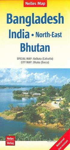
The north-eastern states of India including Assam and Sikkim, plus Bangladesh and Bhutan at 1:1,500,000 in a series of double-sided maps from Nelles with their slightly smaller size offering a convenient format for use when travelling. Coverage extends north to include the south-central part of Tibet with Lhasa, Shigatse and Gyantse. An enlargement shows in greater detail the environs of Kolkata/Calcutta and also included are street plans of central Kolkata and Dhaka. Maps in the Nelles regional series of India present the country’s road and rail networks on a base with relief shading to show the topography. National parks and nature or game reserves are highlighted, as are numerous places of interest. Also shown are the country’s internal administrative boundaries with names of the states. Each map includes enlargements for most visited areas and/or street plans of main cities. Latitude and longitude are shown by margin ticks at 2ยฐ. None of the maps are indexed. Map legend includes English.To see other titles in this series please click on the series link.

Related Products:
 India East Nelles
 India West Nelles
 India South Nelles
 India North Nelles
 India: Nelles Regional Road Maps
 Bangladesh & India East ITMB
 Bhutan & Northeast India ITMB
 India ITMB
 Sikkim & India Northeast ITMB
 Sri Lanka & India South ITMB
 India Nelles
 India F&B
Taiwan Nelles
India F&B
Taiwan Nelles
 Java – Jakarta Nelles
 India North East & Kolkata / Calcutta ITMB
 Vietnam – Laos – Cambodia Nelles
 South Africa – Namibia – Botswana – Zimbabwe Nelles
 China North East Nelles Map
 Malaysia – Brunei Nelles
 Hawaii – Oahu – Honolulu Nelles
 USA: Nelles Maps of the Hawaiian Islands
 India Northeast Reise Know-How
Hawaii – Kauai Nelles
India Northeast Reise Know-How
Hawaii – Kauai Nelles
 India North Borch
Hawaii – The Big Island Nelles
India North Borch
Hawaii – The Big Island Nelles
 Central America Nelles
 Indonesia: Nelles Regional Maps
 Bali – Lombok Nelles
 Pakistan Nelles
 Hawaii – Maui – Molokai – Lanai Nelles
 Bolivia – Paraguay Nelles
 India Northeast NGS Adventure Map 3012
Kenya – Serengeti Nelles
India Northeast NGS Adventure Map 3012
Kenya – Serengeti Nelles
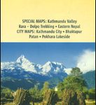 Nepal Nelles
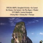 Thailand Nelles
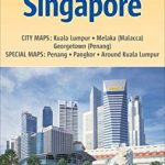 Malaysia West – Singapore Nelles
 Tunisia Nelles Map
 New Zealand Nelles