Disclosure : This site contains affiliate links to products. We may receive a commission for purchases made through these links.
India: International Publications State Road Map/Guides
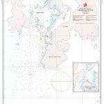
India`s states on road maps from the Delhi-based International Publications, with most titles also including an informative, illustrated booklet describing main sights. The maps show more, or sometimes different small towns or villages than included in other similar publications.Unless indicated to the contrary in the individual description, the maps present the state with its constituent districts in different colours and also show the division of districts into talukas. Town symbols indicate both district and taluka headquarters. Road network includes many local roads, some with driving distances, although sometimes locations are marked without road access to them shown on the map. Railway lines are included and local airports are marked. Symbols indicate various locations of interest, including historical sites, wildlife sanctuaries, beaches, etc.In many titles additional panels around the main map and/or in the accompanying booklet provide more information: enlargements with more detailed presentation of the road network, street plans of main cities, etc. The booklets, which also include a general introduction to the state and district-by-district descriptions, are published on high quality paper and are illustrated with numerous colour photos.For more details please see the individual descriptions.PLEASE NOTE: the various locally-produced state maps of India often show different small towns and villages, supplementing each other to provide a more detail picture of each state.

Related Products:
 India: Eicher State Road Maps
 India Road Atlas
 Australia: Hema State Road Maps
 USA: Benchmark Maps State Road Maps
 India: ITMB Regional Road Maps
 Mexico: Ed. Independecia State Road Maps and Street Plans
 Varanasi (Benares) & Sarnath Map-Guide
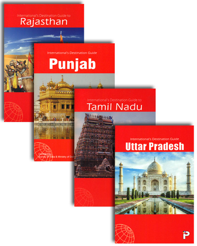
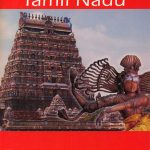 Tamil Nadu Map-Guide
 India: Nelles Regional Road Maps
 Kerala & Lakshadweep Map-Guide
 Delhi Map-Guide
 Punjab Map-Guide
 Rajasthan Map-Guide
 Bihar
Bihar
 USA: DeLorme State Road Atlases
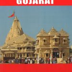 Gujarat Map-Guide
 Maharashtra Map-Guide
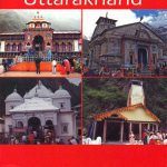 Uttarakhand Map-Guide
 Andhra Pradesh
 Australia: UBD Gregory`s State Road Maps
 Uttar Pradesh Map-Guide
 Madhya Pradesh Map-Guide
 India: Reise Know-How Regional Road Maps
 Mexico: Guja Roji State Road Maps
 Goa
Goa
 Jharkhand
 Australia: UBD Gregory`s Road Atlases
 Karnataka Map-Guide
 New Zealand: Kiwimaps District Road Maps with Street Plans
 Owerri – Imo State Road Map
 Washington State Road & Recreation Atlas
 Salzburg State F&B Top 10 Tips
 India South Borch
USA: Michelin Regional Road Maps
India South Borch
USA: Michelin Regional Road Maps
 Mรฉxico State – Toluca
 Michoacรกn State – Morelia
 Jalisco State – Guadalajara
 Coahuila State – Saltillo
Nayarit State – Tepic
Coahuila State – Saltillo
Nayarit State – Tepic
 Tabasco State – Villahermosa