Disclosure : This site contains affiliate links to products. We may receive a commission for purchases made through these links.
India c.1838 MEDIUM

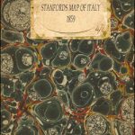
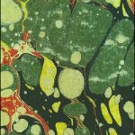
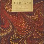
A cloth-backed map of India ‘Constructed with great care and research from all the latest authorities and intended more particularly to facilitate a reference to the Civil and Military Stations. Dedicated to Sir James Rivett Carnac Bart, Chairman of the Court of Directors of the Honourable The East India Company, Arranged under the direction of Captain R.M. Grindlay” and published in 1838 by James Wyld, geographer to the Queen.The map shows the individual states in different colours, with names of towns underlined to indicate stations of the Bengal, Bombay and Madras Armies, all listed in separate tables cross-referenced to the map. The table also list, where appropriate, collectorates and zillahs, as well as civil stations in the North Western and Bengal provinces. A separate table lists British territories, British allies and tributaries, and the independent states of Hindoostan. Another interesting feature is an extensive distance table, Agra to Bangalore 1324 miles!This reproduction was taken from what used to be called a ‘cloth-dissected” map, made when the map itself was cut into sections and each section then individually pasted onto an overall cloth backing for the whole map. In this version the whole map is backed onto cloth in one piece but the gaps between the sections have been reproduced in the printing to preserve the style and the feeling of the original. Each individual map is presented folded in a colourful case covered with a unique design marbled paper ‘“ no two cases are identical.To see the list of all the titles in this series from the Old Folding Maps please click on the series link.


